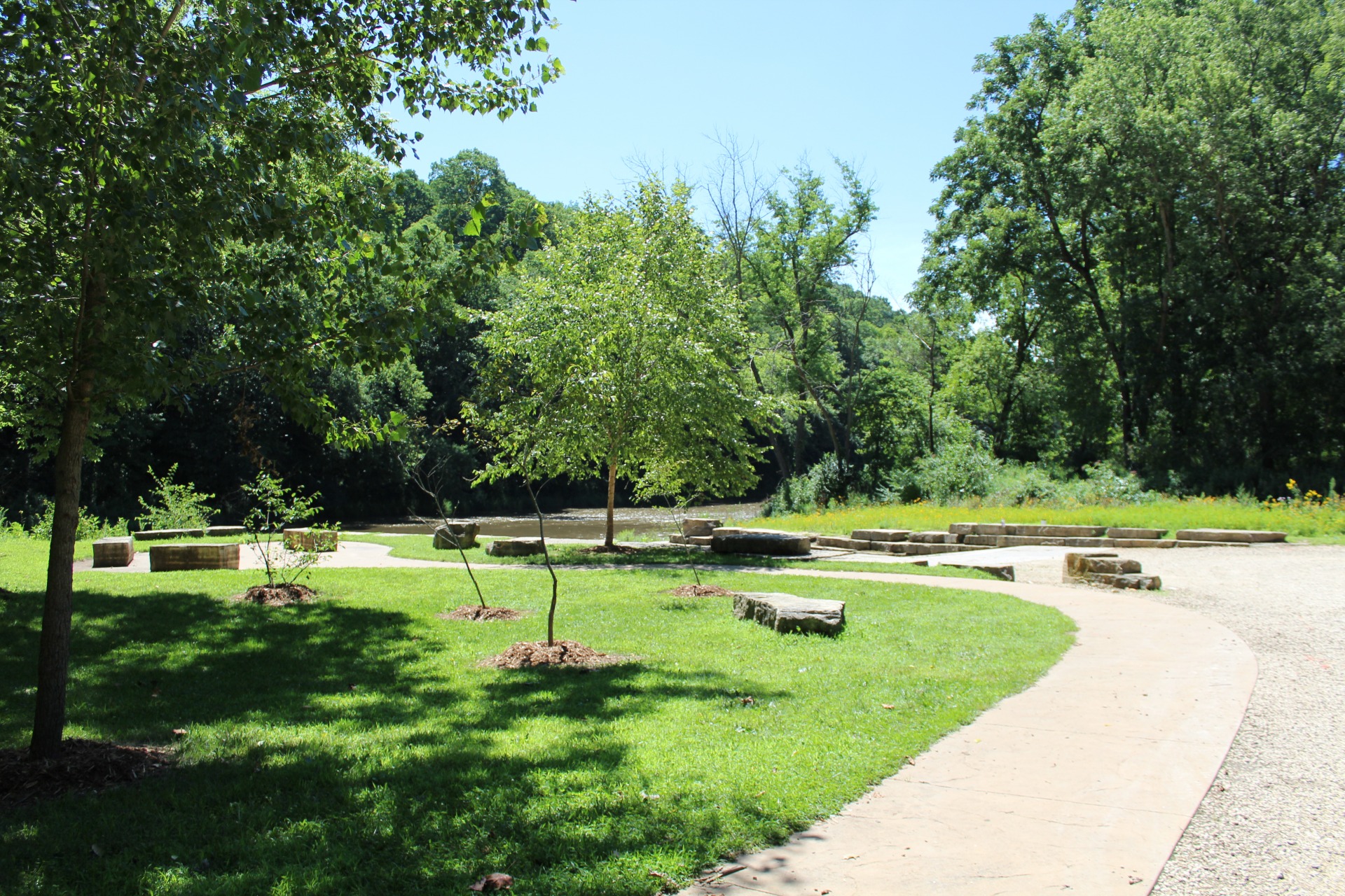
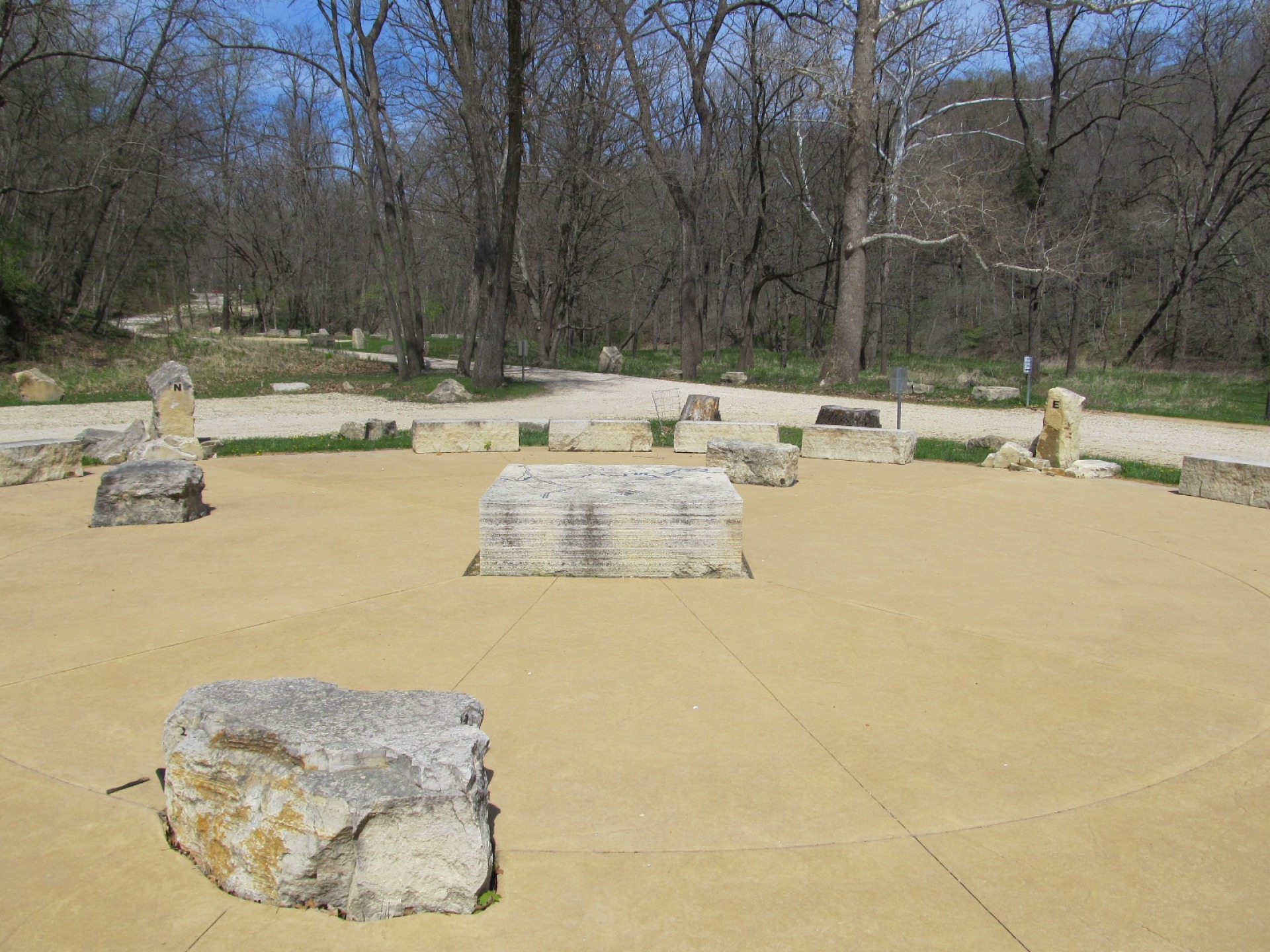
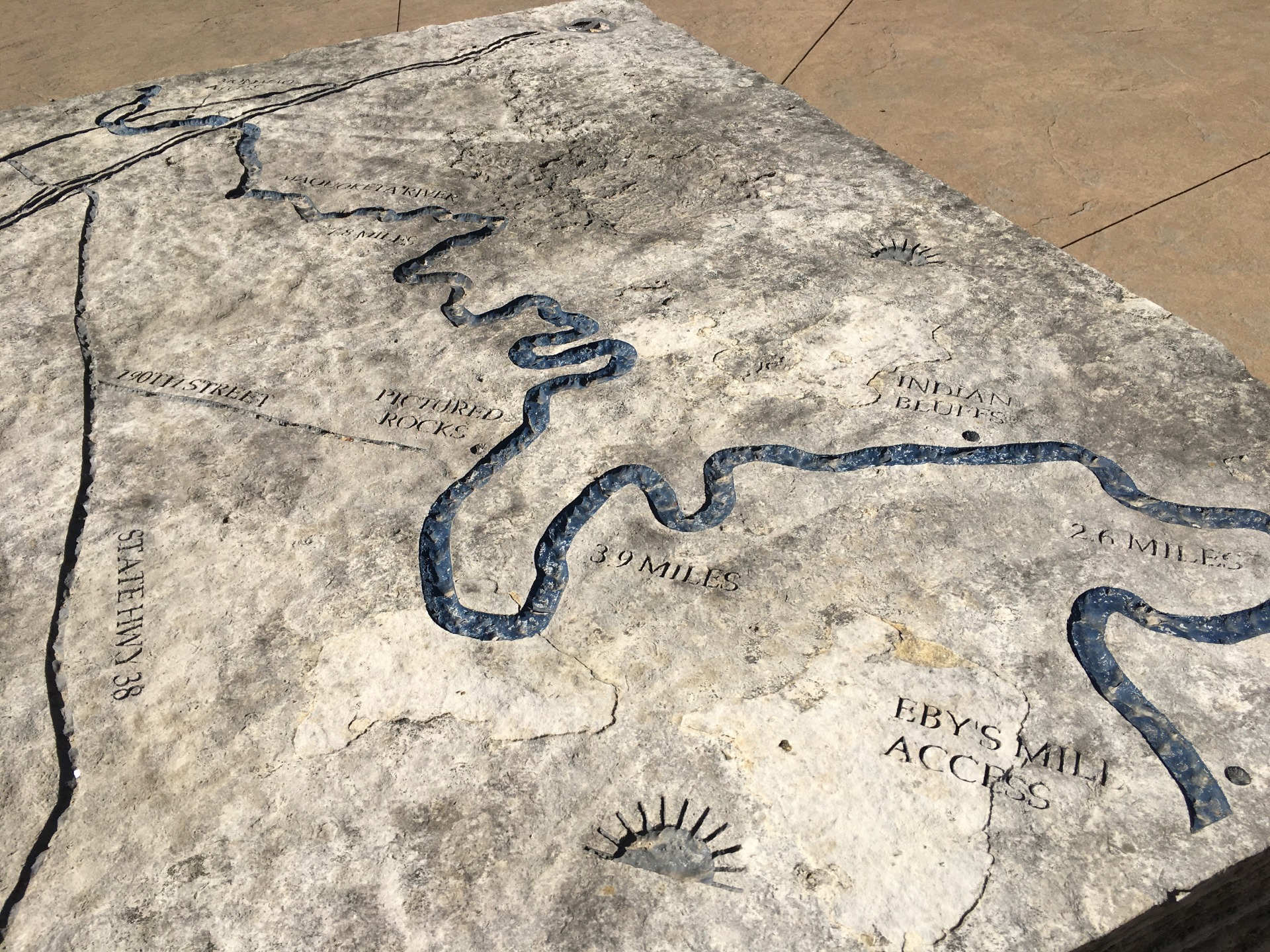
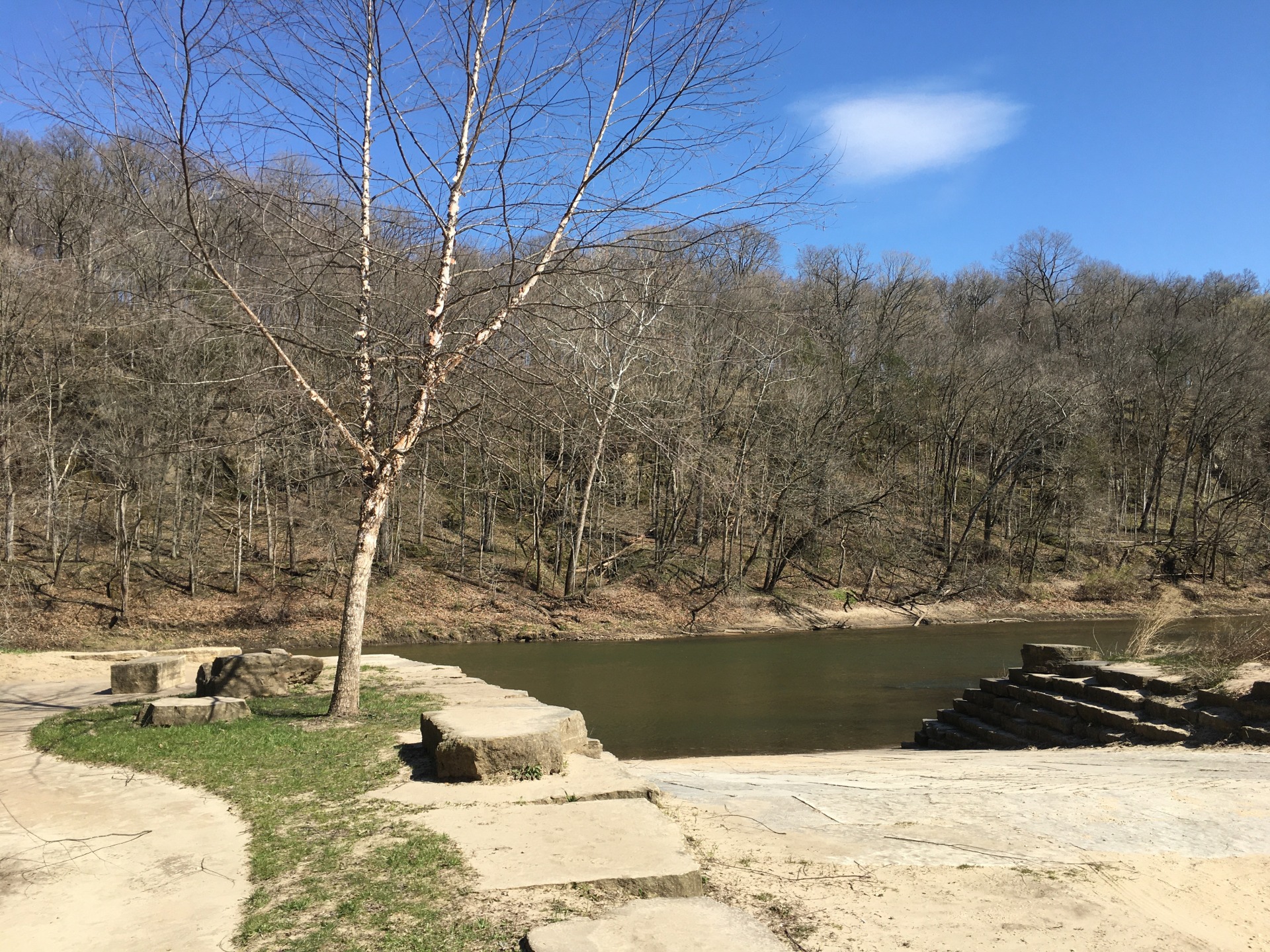
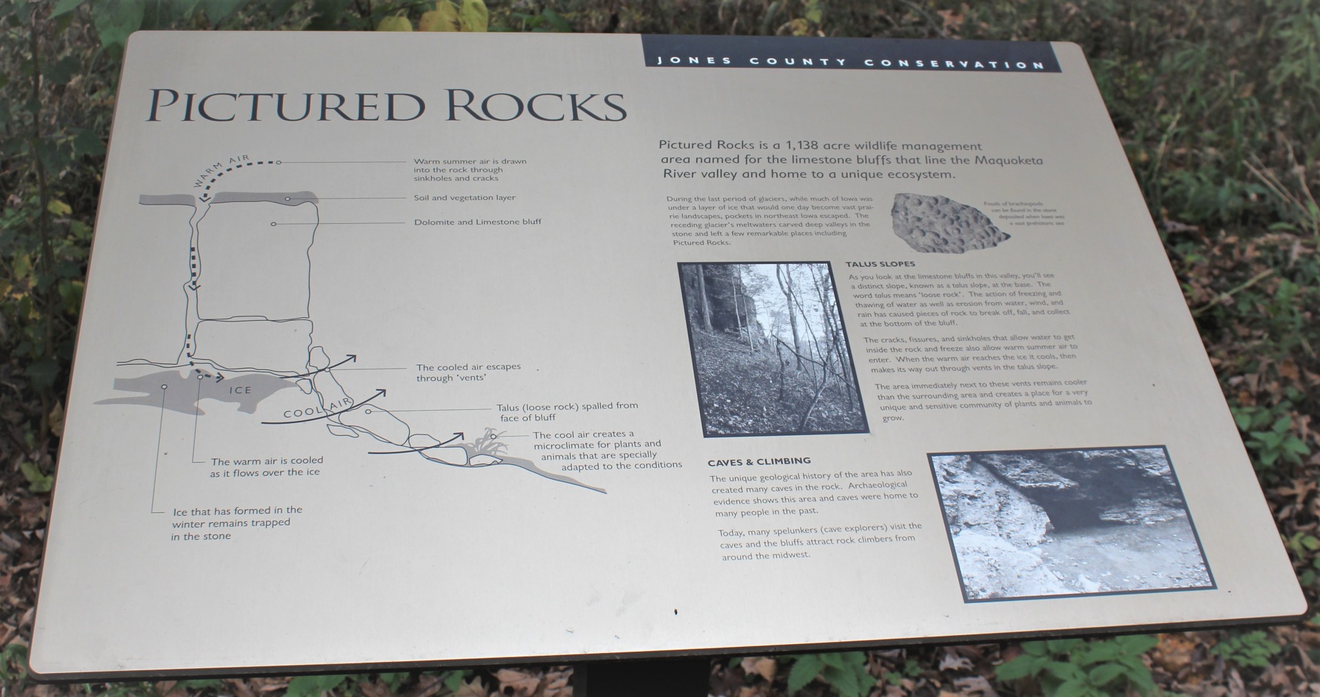
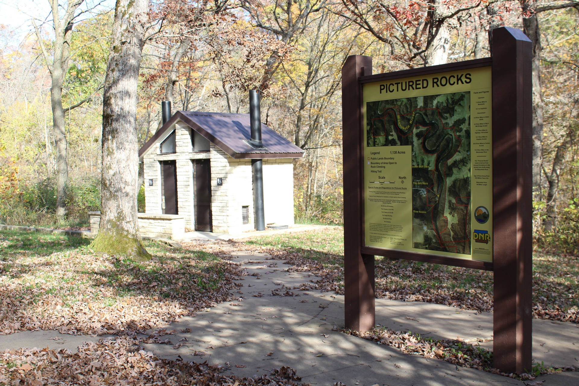
Just 5 miles south of Monticello, this 726-acre wildlife management area can be found along the banks of the Maquoketa River.
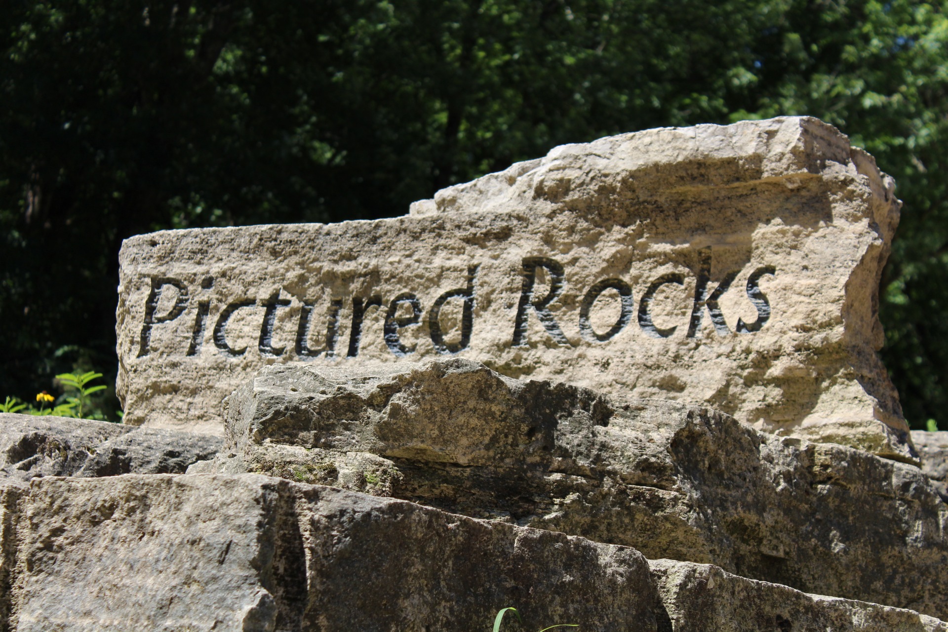
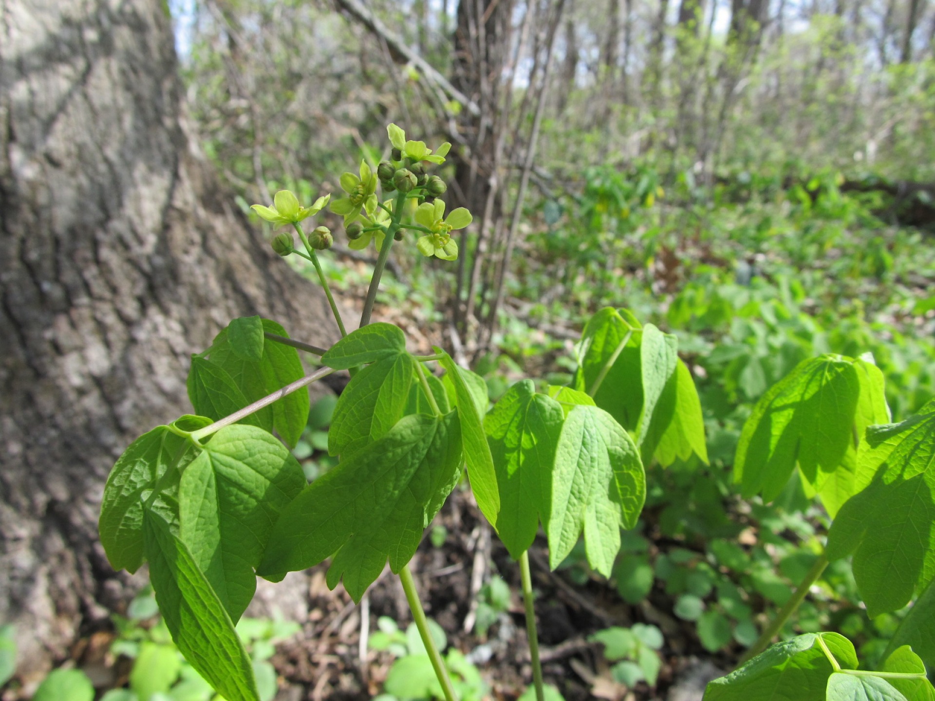
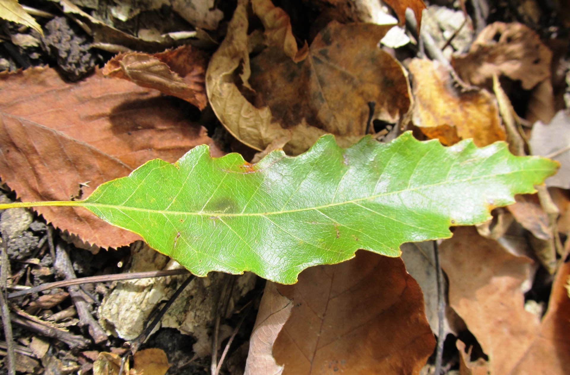
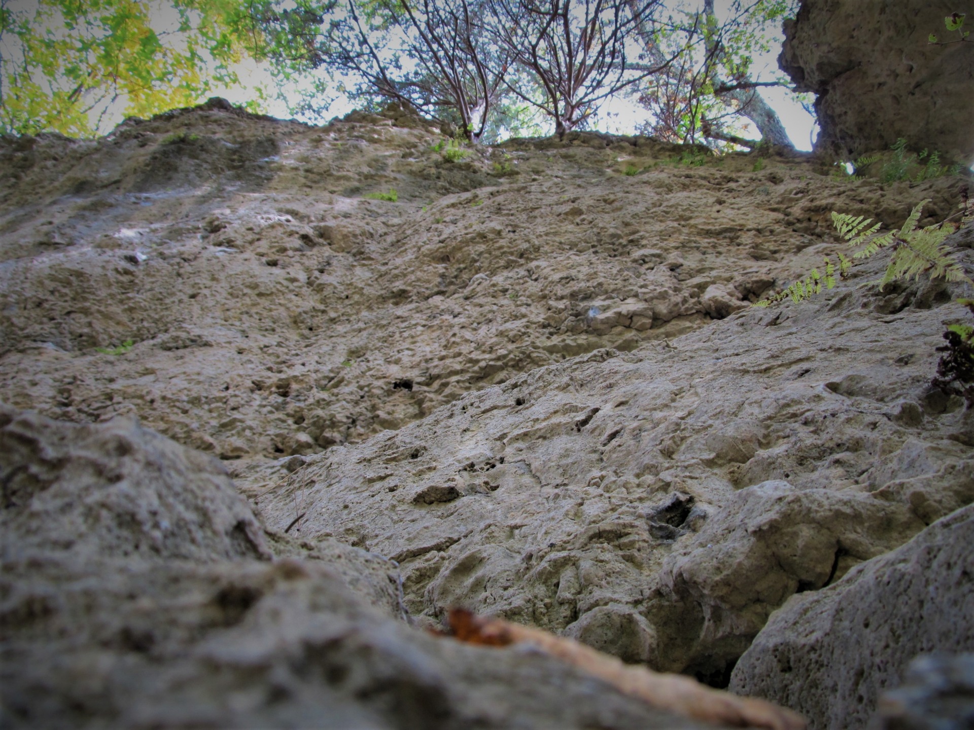
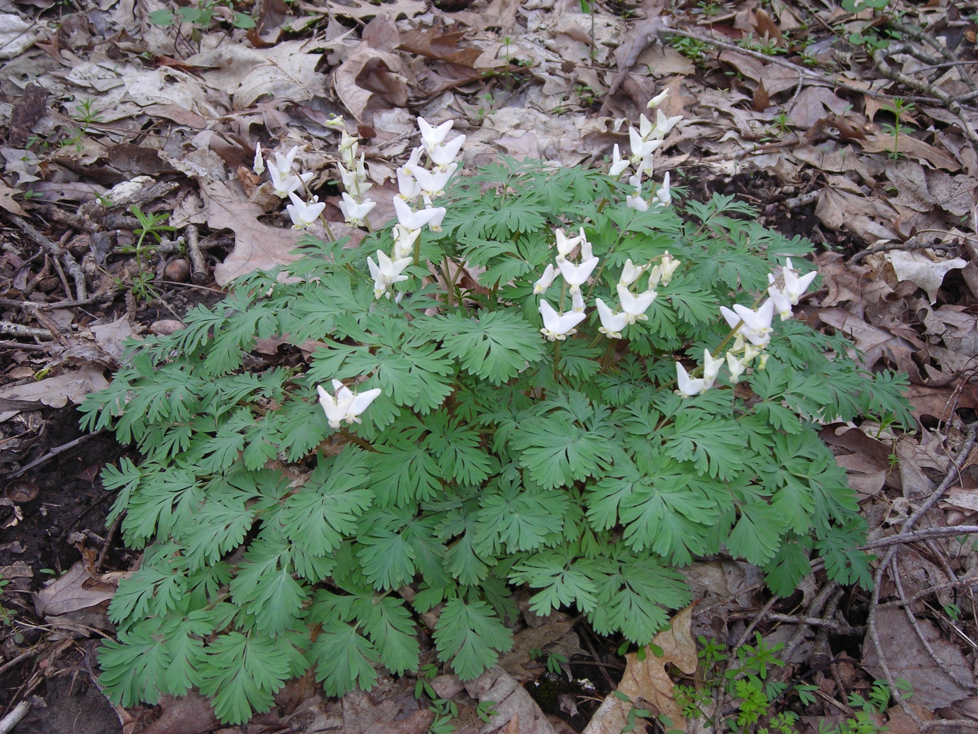
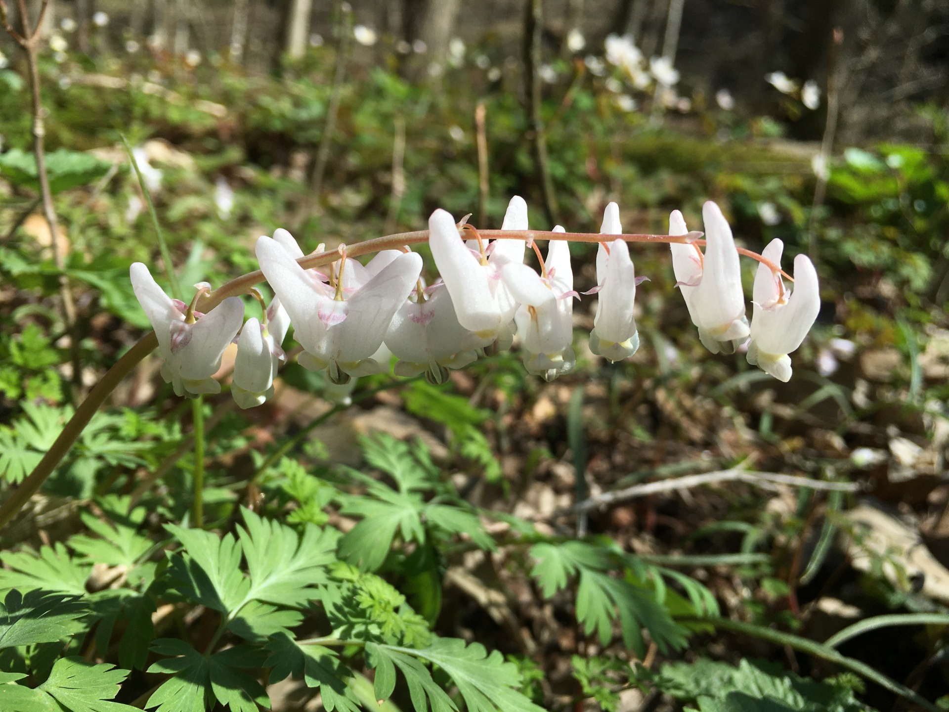
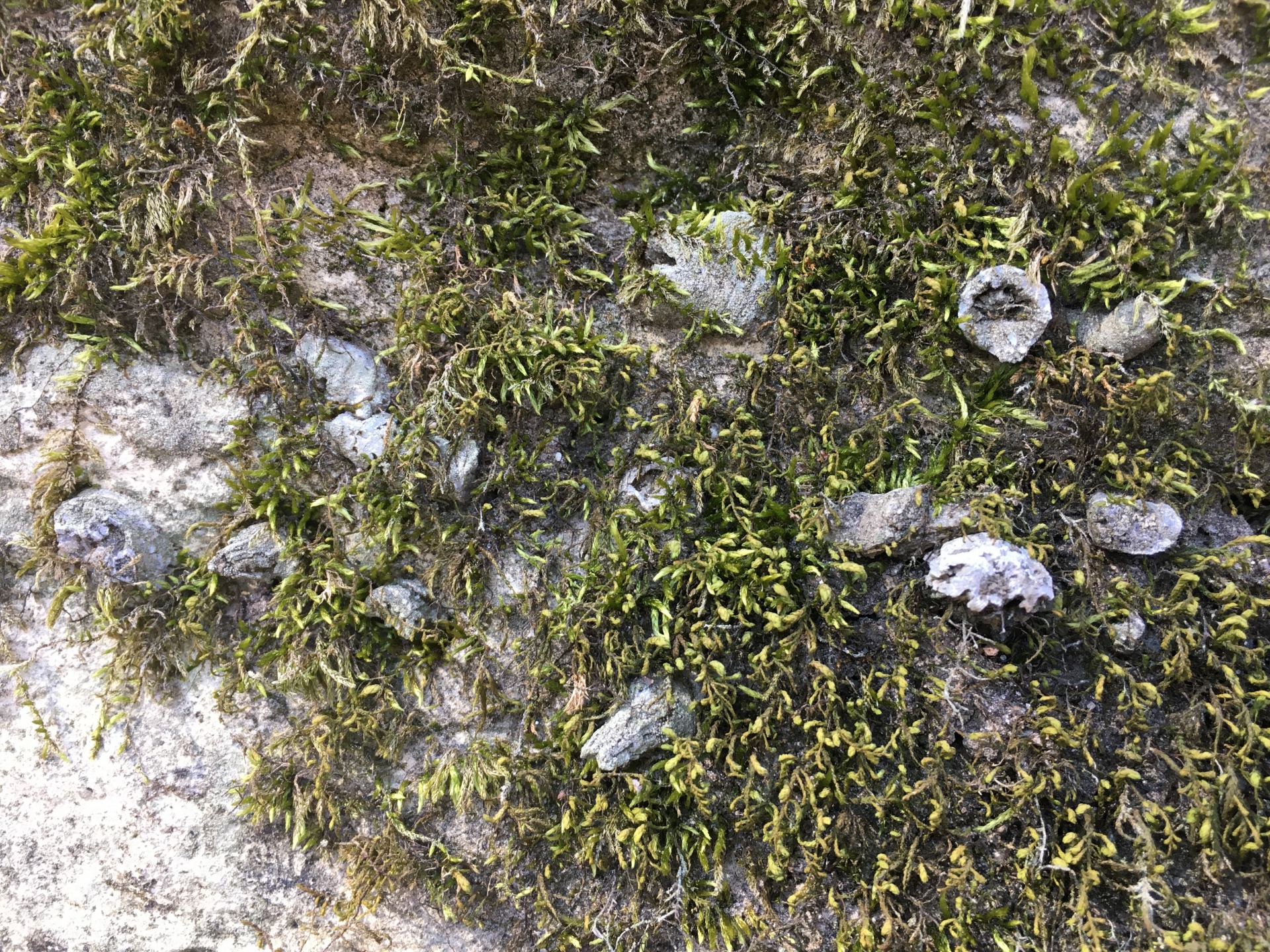
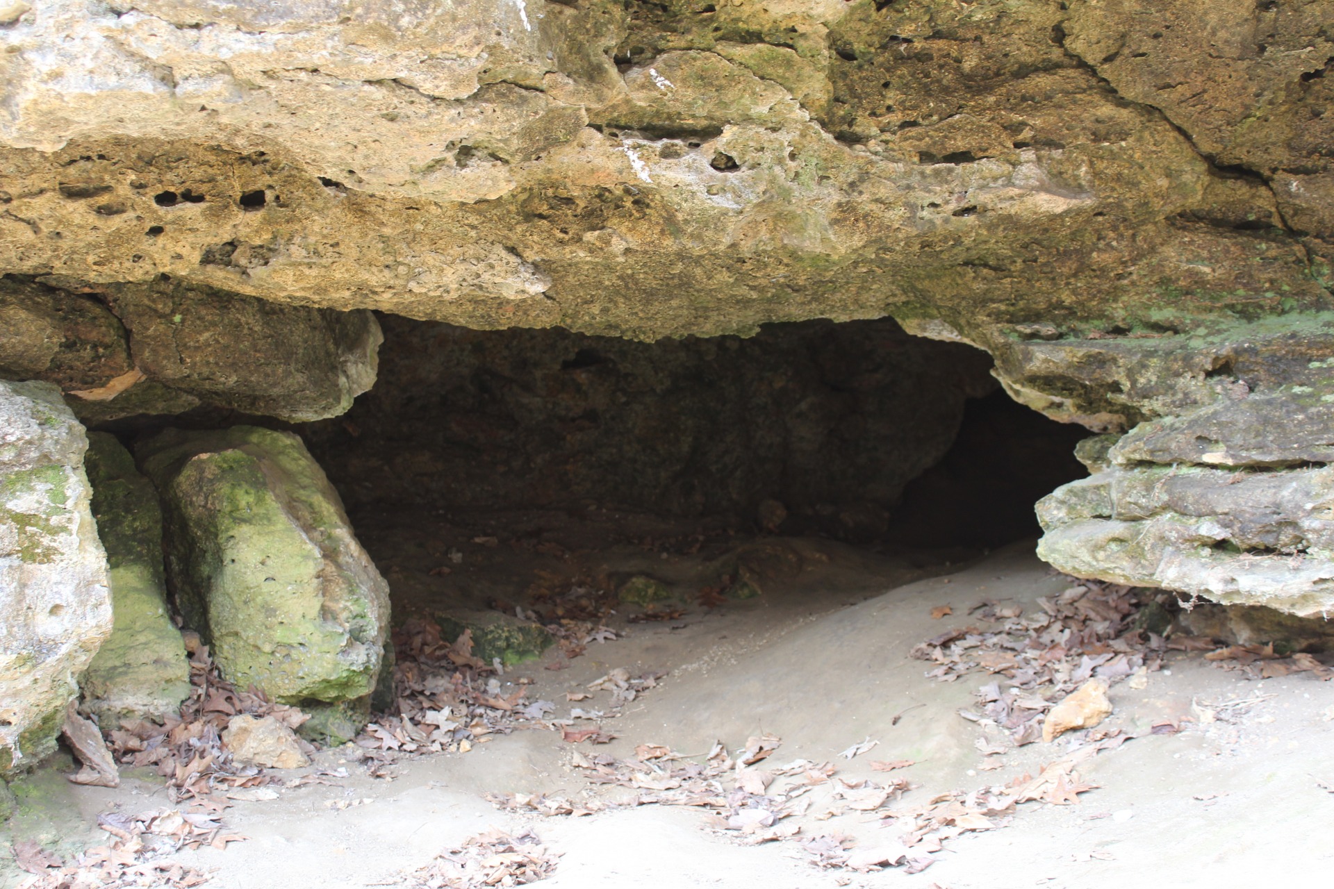
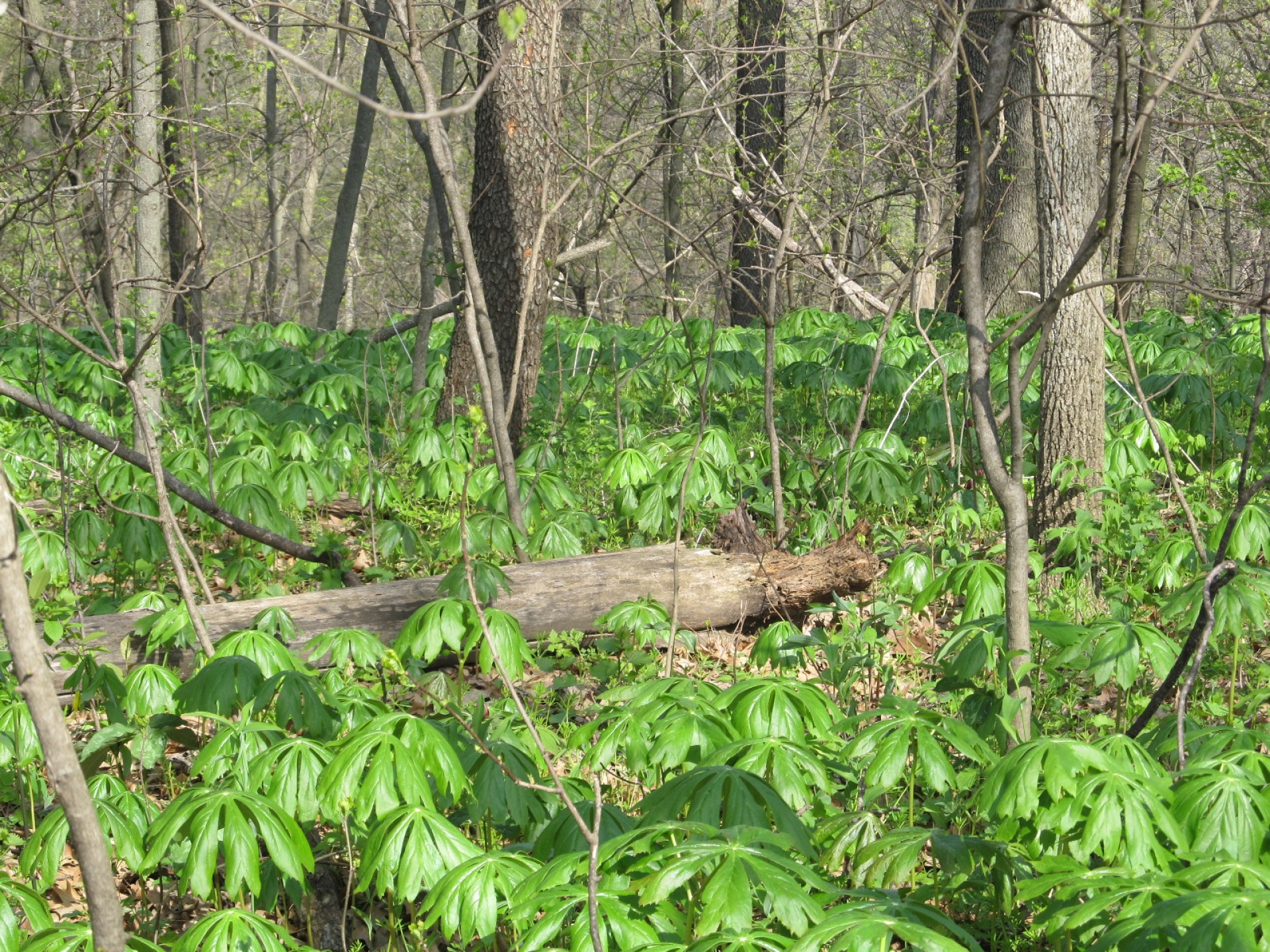
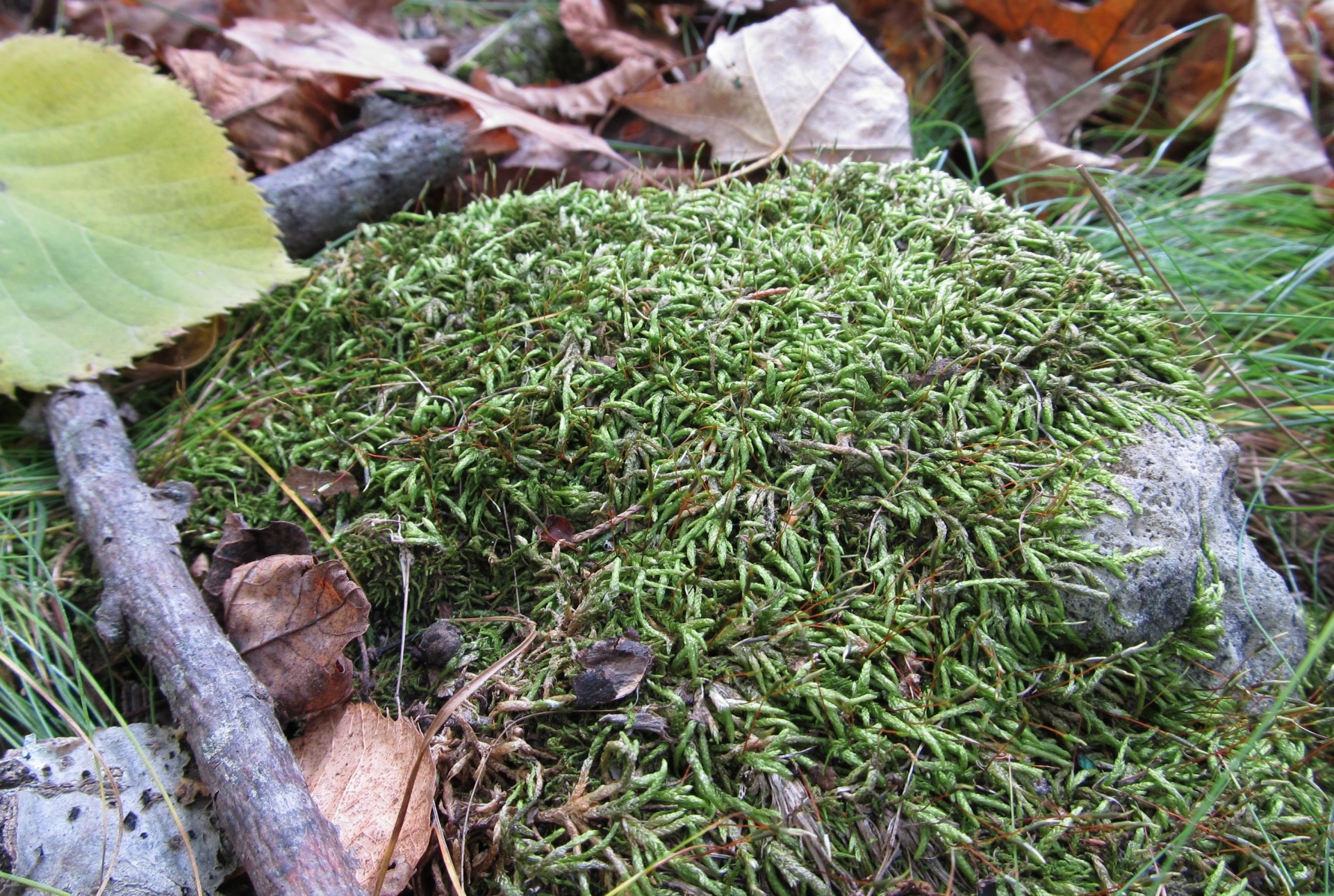
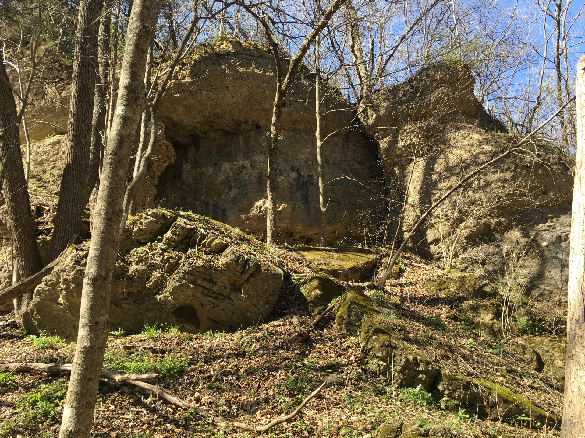
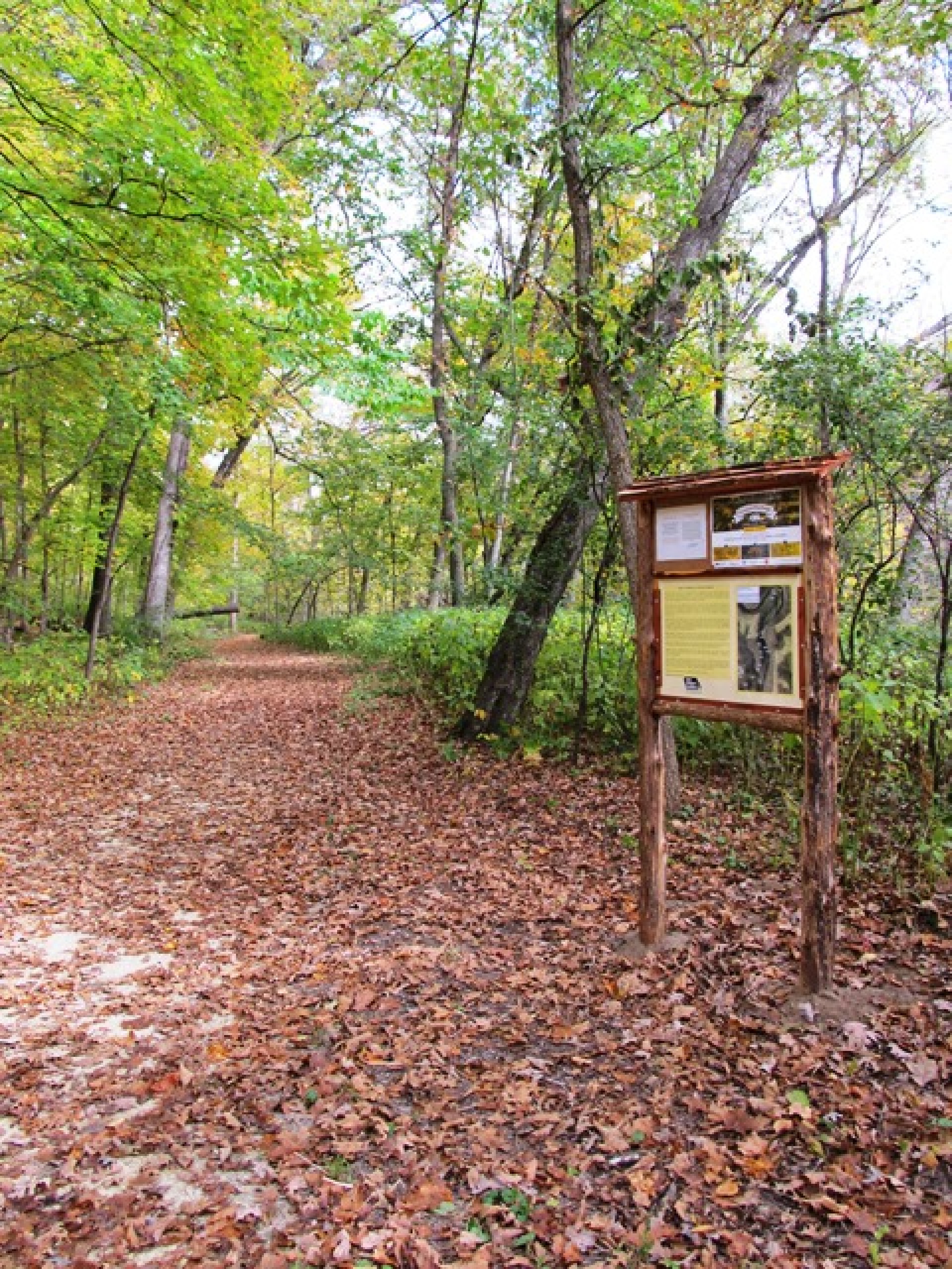
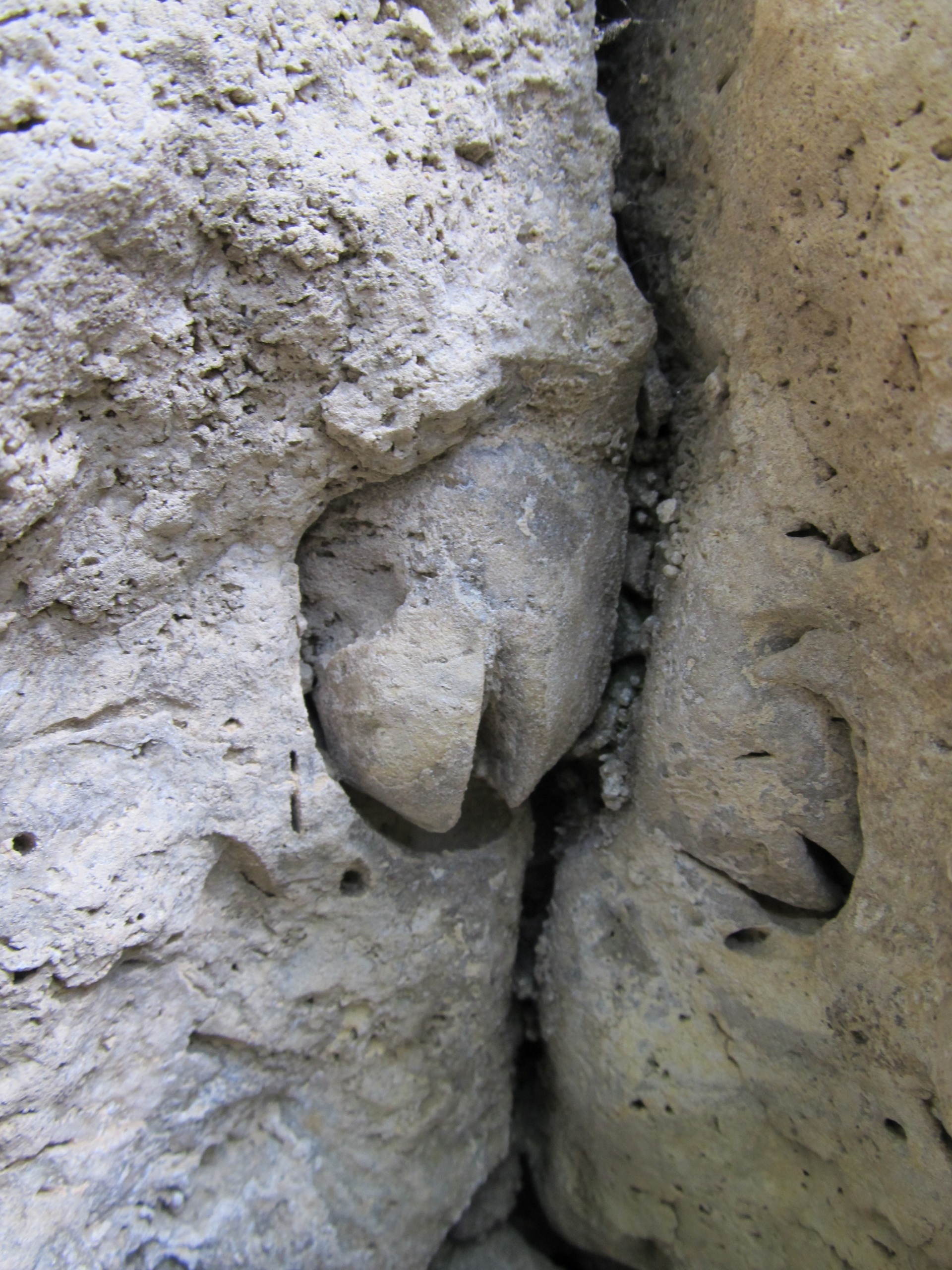
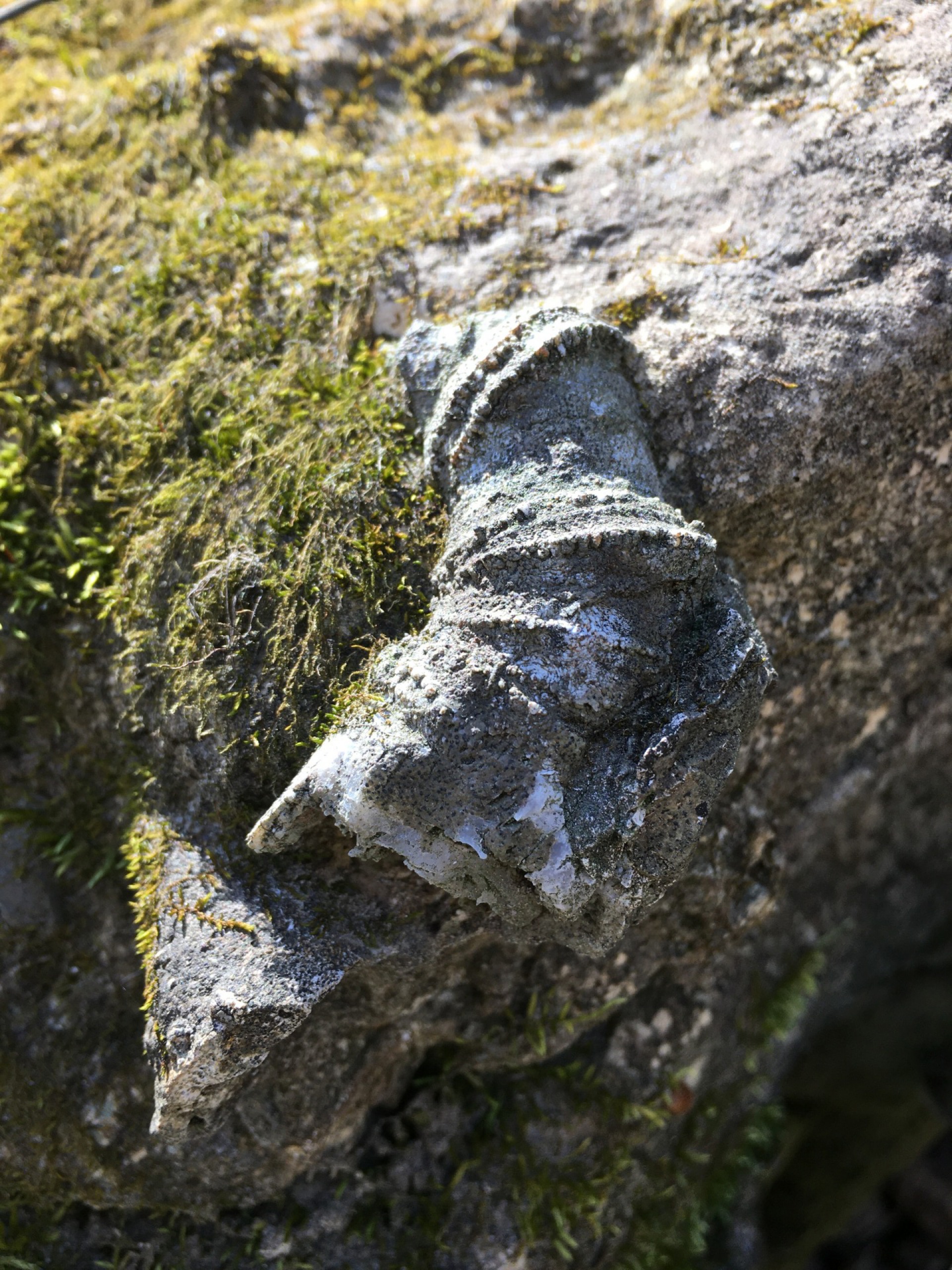
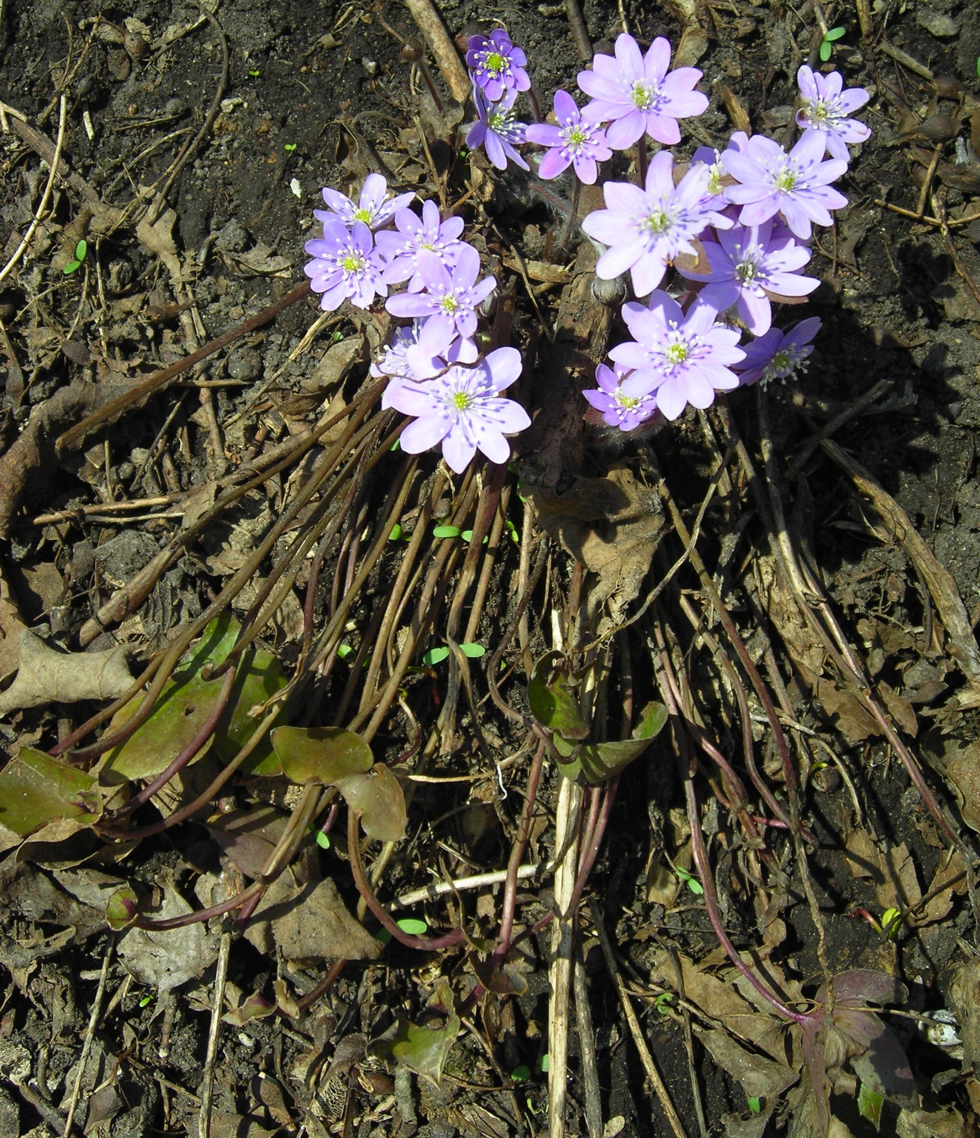
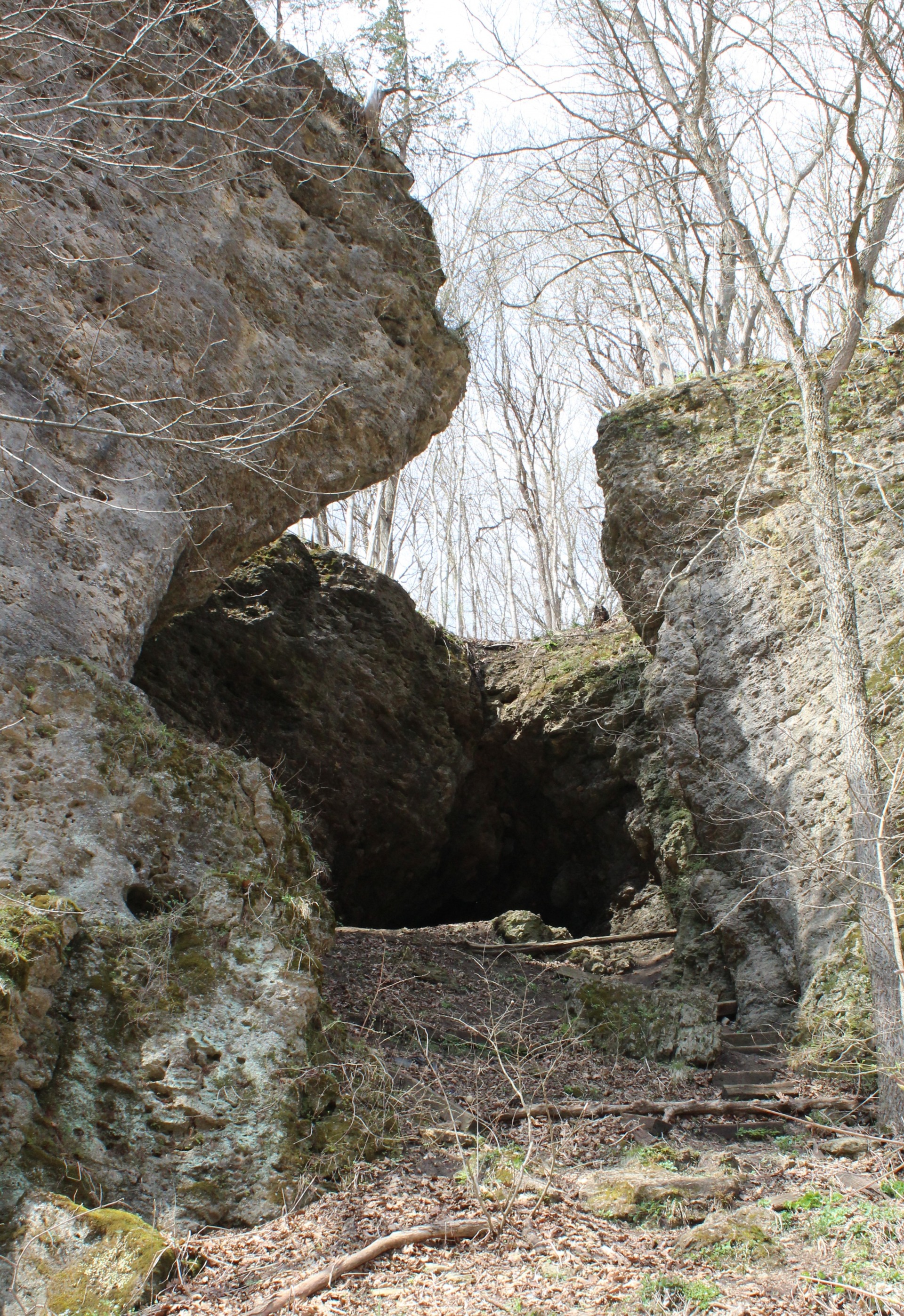
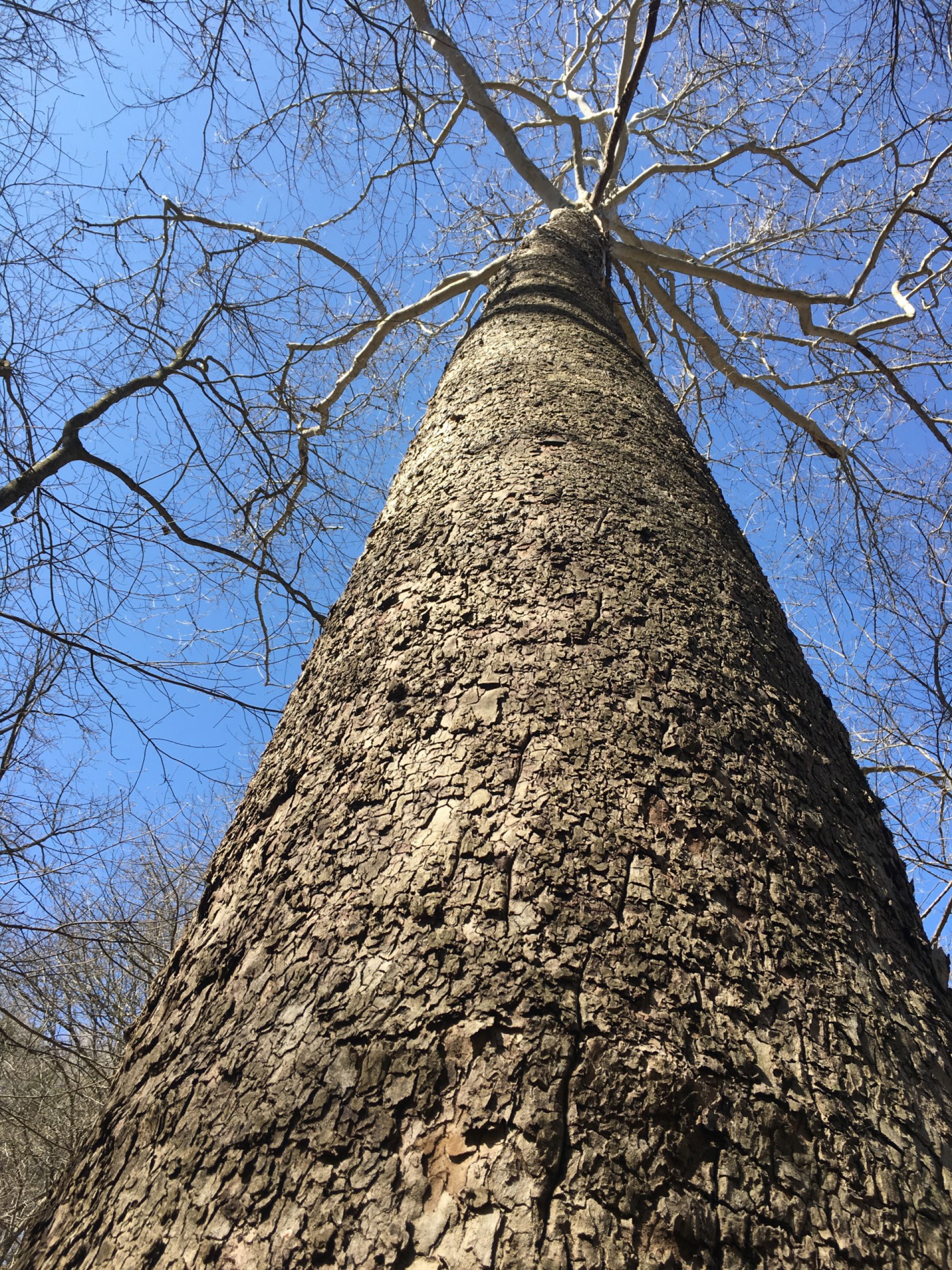
Pictured Rocks is named for the steep limestone bluffs that enclose the narrow river valley. The terrain makes it ideal for the smallmouth bass fisherman, canoeist, climber, deer and turkey hunter, woodland wildflower enthusiast, and hiker. Hiking trails transverse the undeveloped hardwood forest at Pictured Rocks and the adjacent state preserve, Indian Bluffs. Several small caves along the bluff face attract spelunkers from across Iowa. (Due to the steep nature of the road leading into Pictured Rocks, the road is typically closed following the first snowfall.)
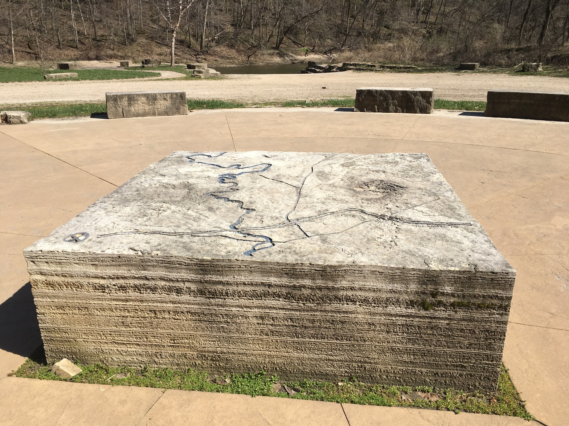
Maps
ms & Rules
Indian Bluffs and Pictured Rocks have been designated as a Bird Conservation Area by the Iowa DNR.
Bird Conservation Area
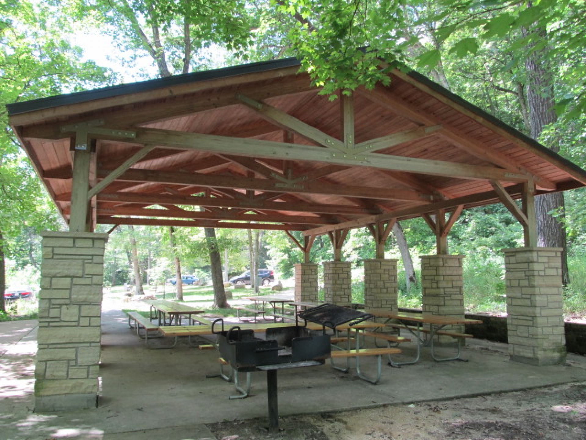
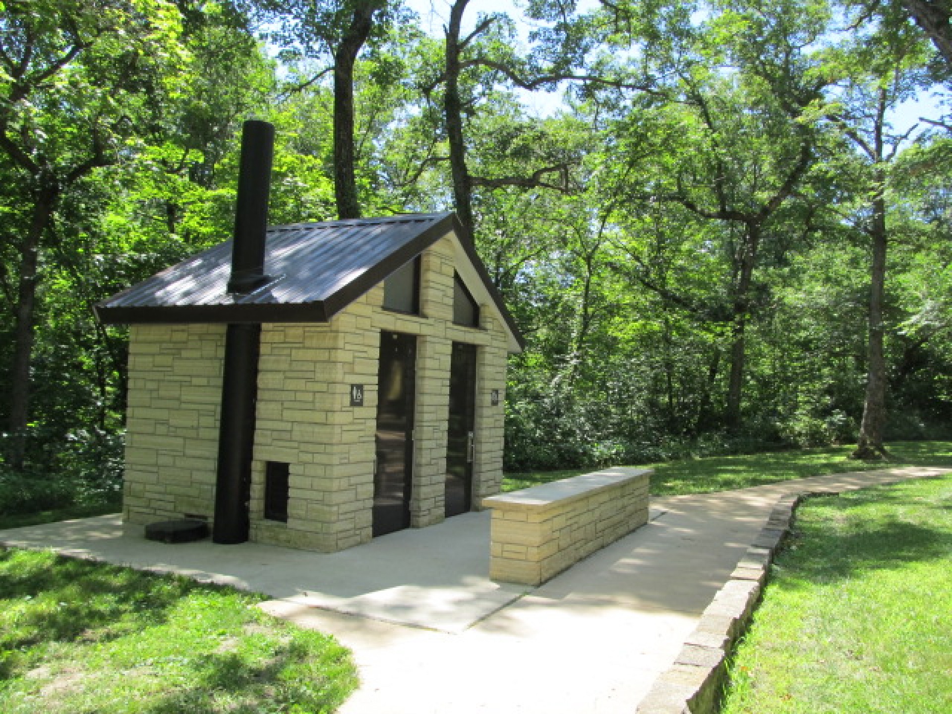
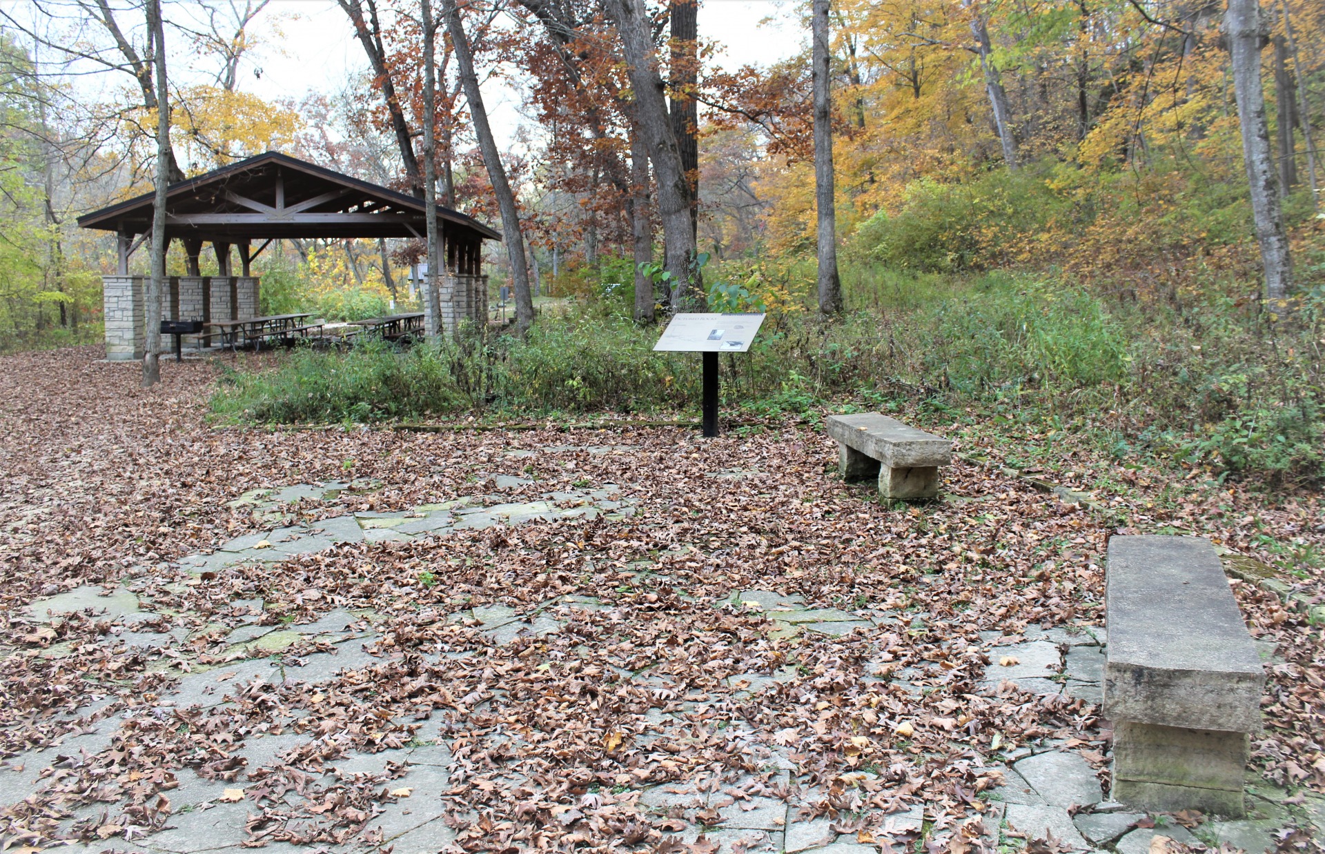
Park Features
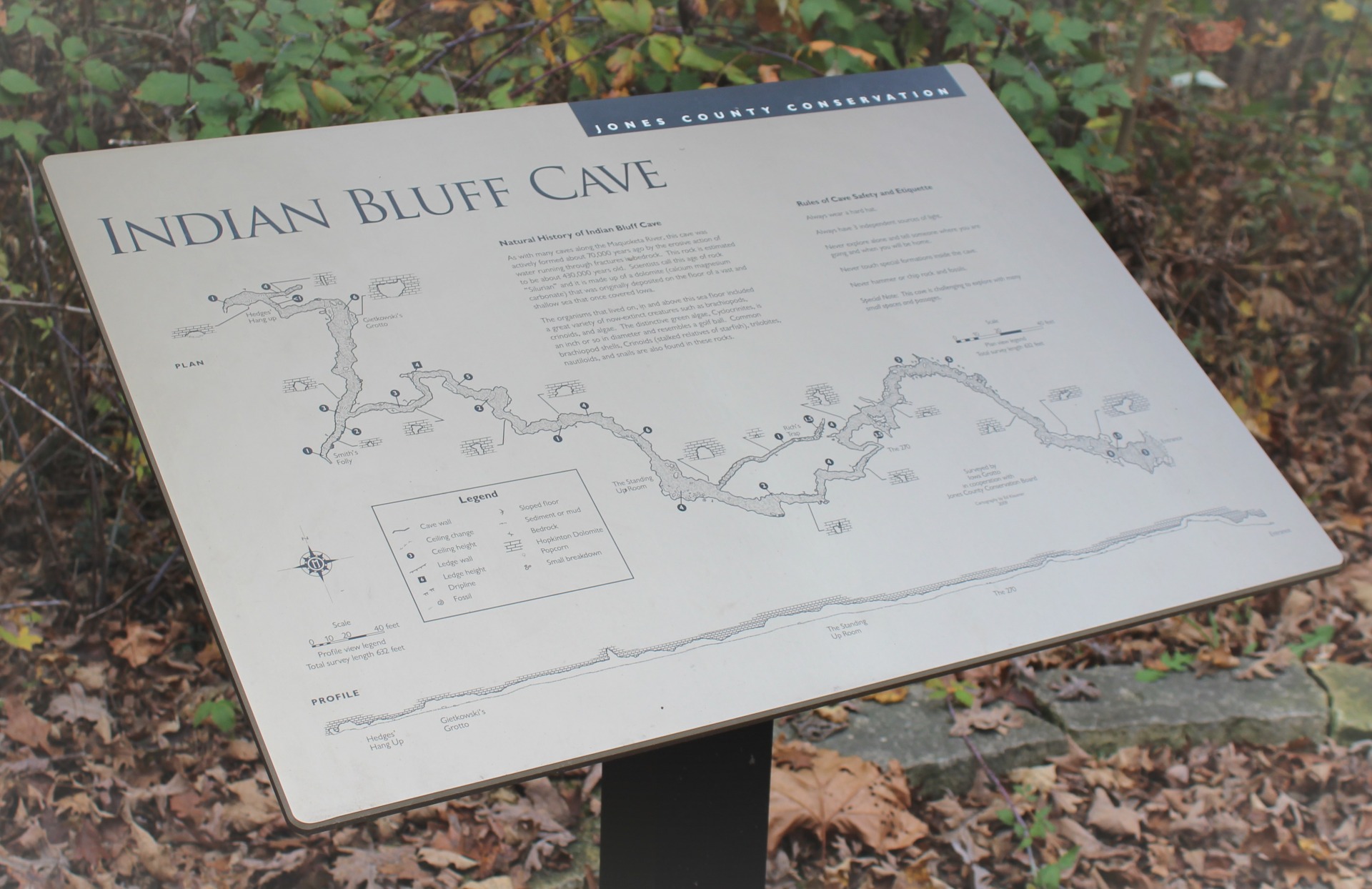
Caving

Caving at Pictured Rocks is now limited to protect bat species against White Nose Bat Syndrome. Cave users will need a completed authorization form from the Jones County Conservation Board Director in order to access the caves at Pictured Rocks.
Contact the Jones County Conservation Administrative Office at 563-487-3541 for an authorization form. Allow one week for processing of the authorization form.
Cave Permit Authorization Form
Climbing

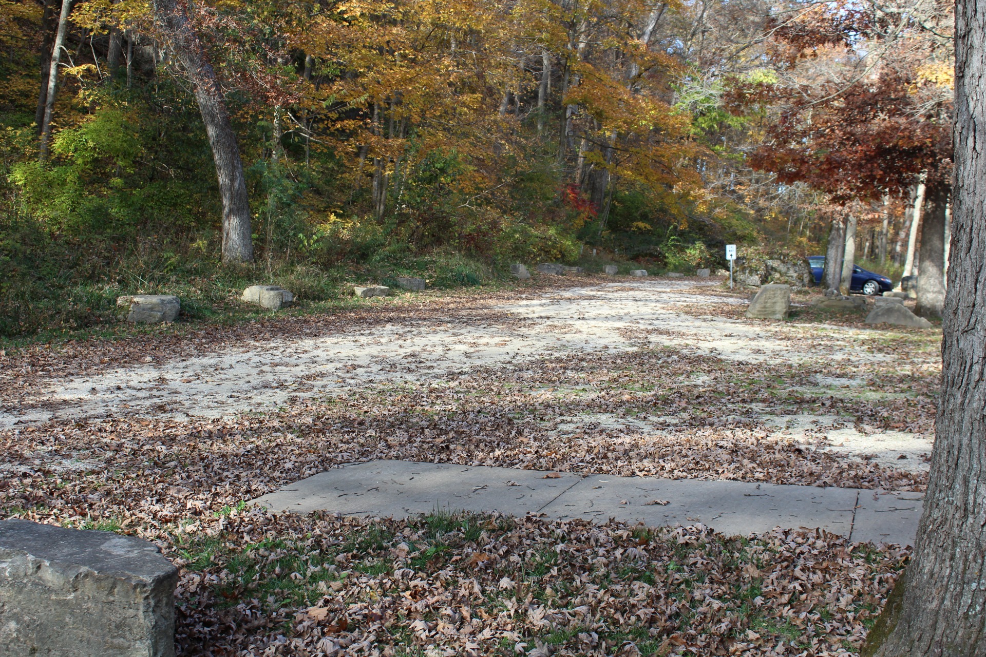
Collin’s Wall is right at the parking lot. Gumby Wall is left of Collin’s Wall, it is the wall and detached pillar which can be seen right before you take your left into the parking lot on the left side. Chicago Wall can be reached by going to the right instead of left. The rest of the walls are accessed from the main trail as you walk farther into the park.
Climbing Map
Due to the steep narrow road leading down into Pictured Rocks, a gate is closed and locked at the beginning of the winter season. Contact the Jones County Ranger at 563-487-5038 for more specific information on gate closure dates.
Fishing
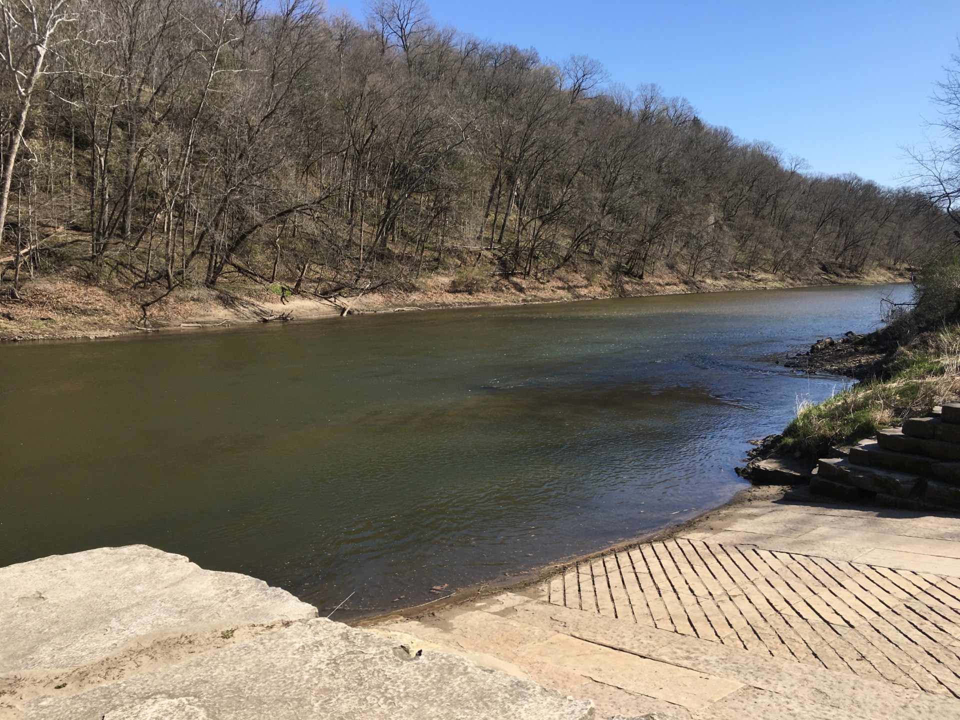
Fish along the banks of the Maquoketa River, ideal for smallmouth bass fisherman.
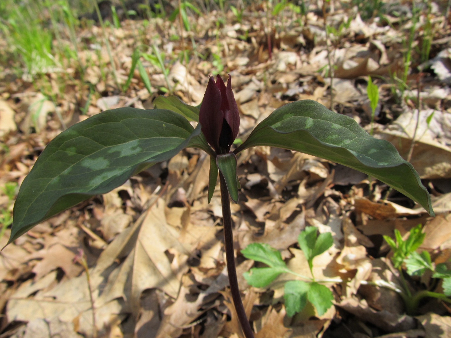
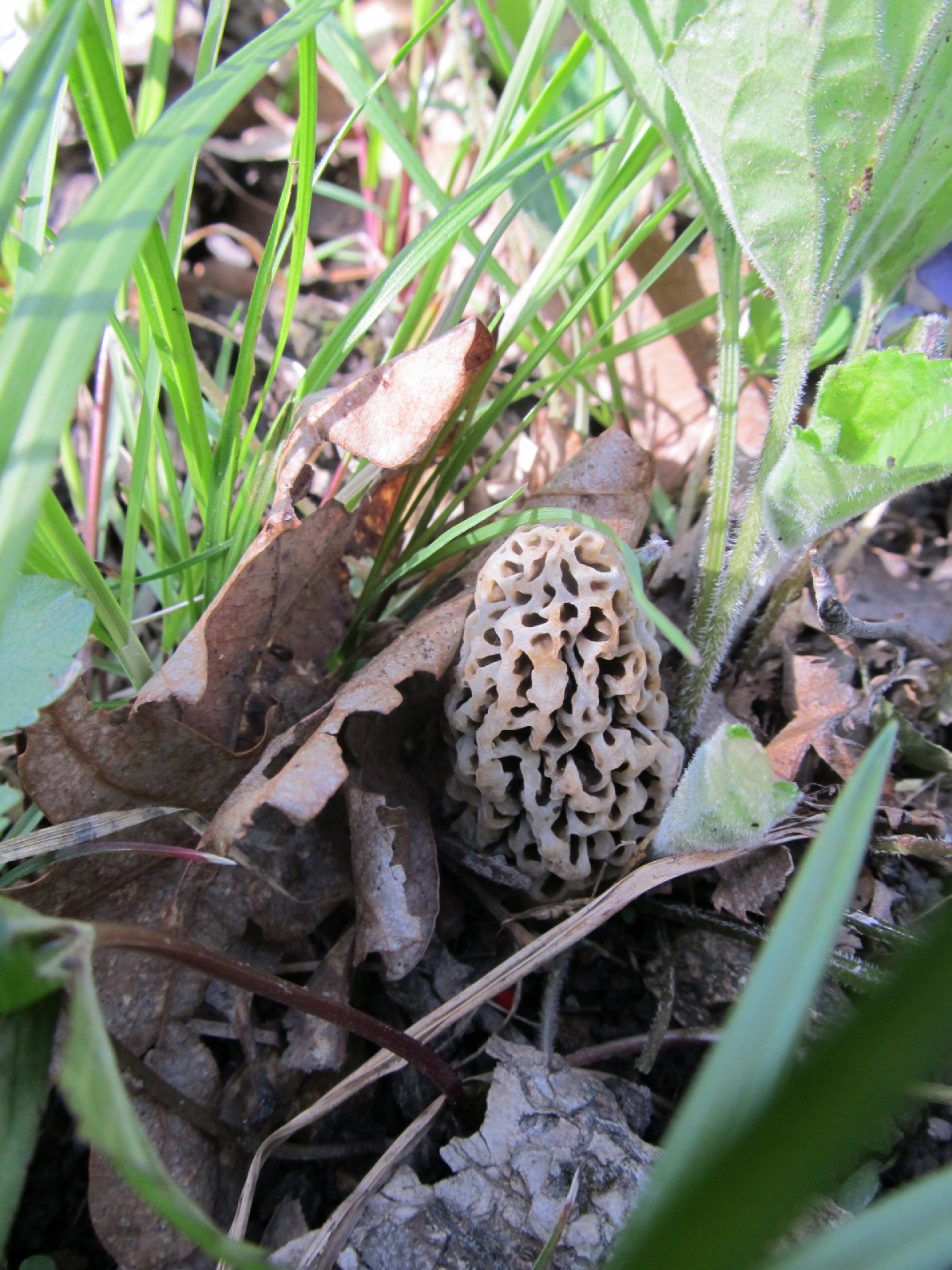
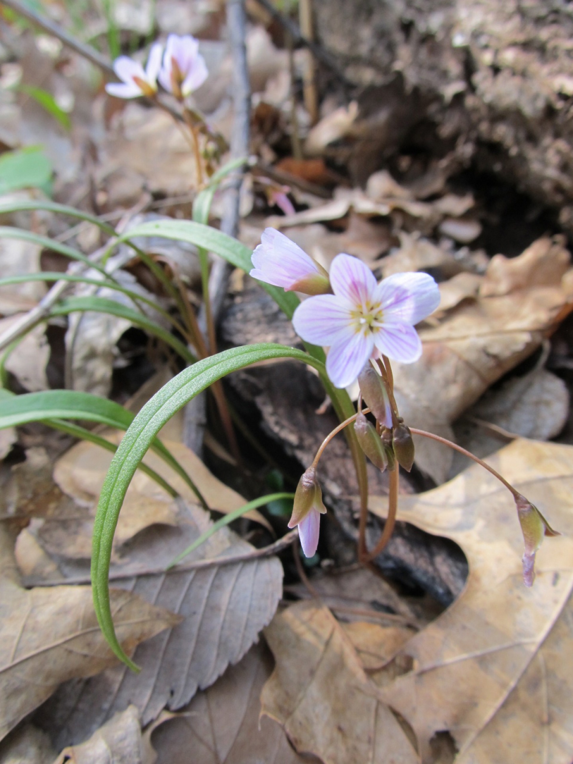
Hiking
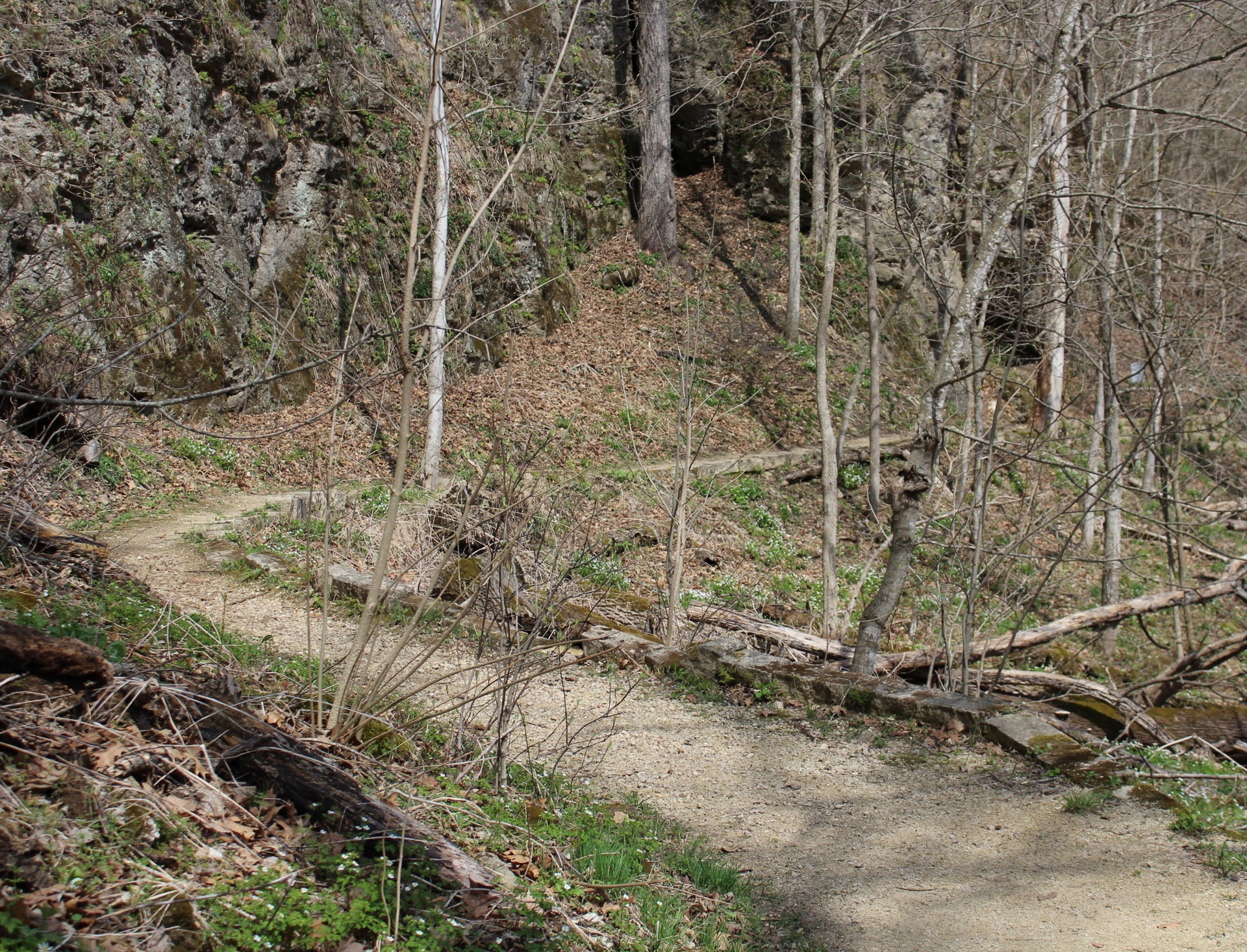
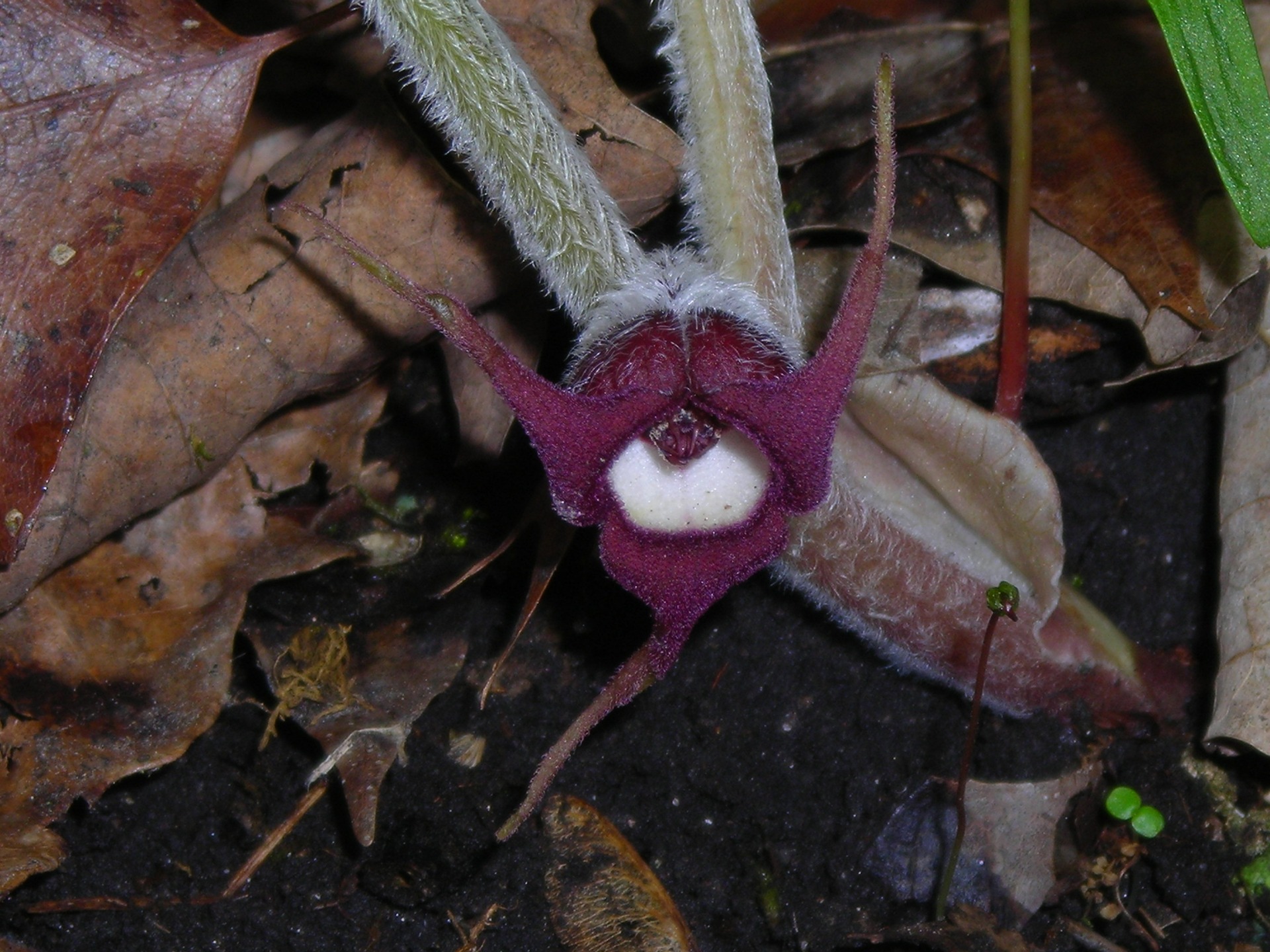
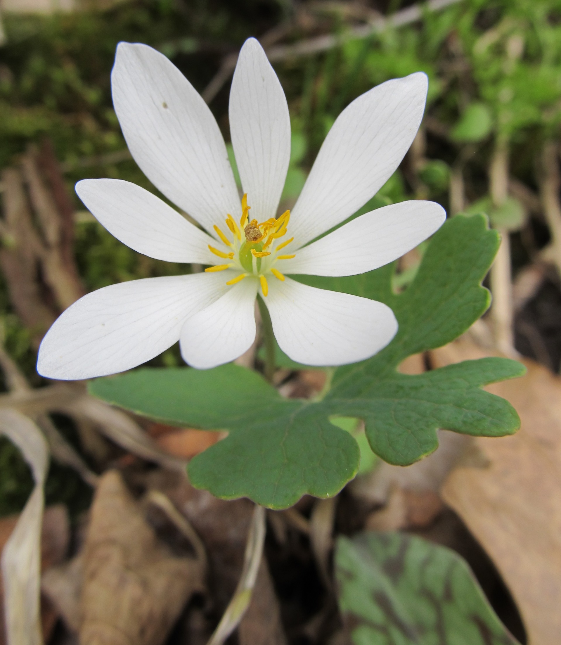
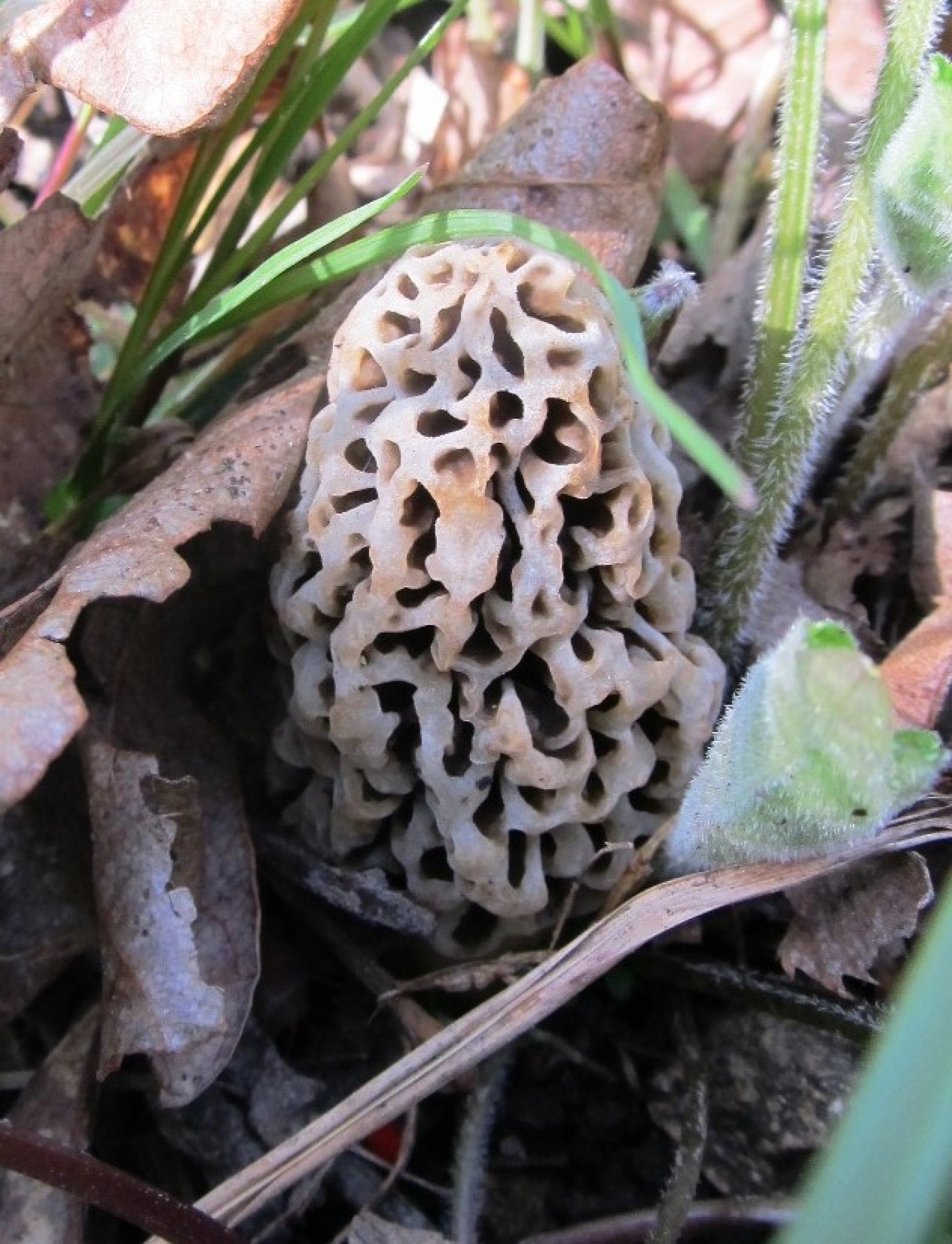
Hiking trails transverse the undeveloped hardwood forest at Pictured Rocks and the adjacent state preserve, Indian Bluffs. Several small caves along the bluff face attract spelunkers from across Iowa. Woodland wildflower enthusiasts will enjoy spotting flowers along the trails.
Hunting
Enjoy time in nature hunting deer and turkey through this wildlife management area.
Paddling
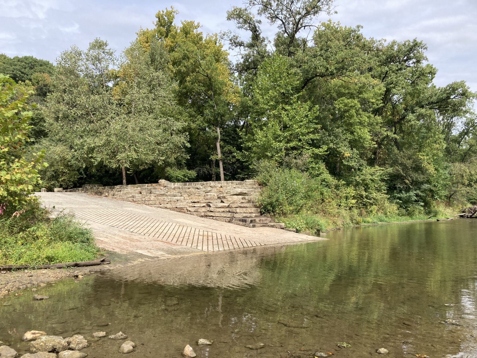
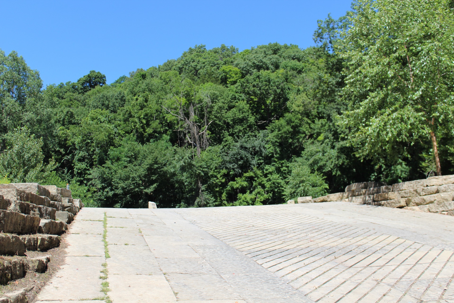
Enjoy picturesque views canoeing or kayaking along the Maquoketa River. As you paddle, take in views of steep limestone bluffs that enclose the narrow river valley. The wildlife area offers hard surface river access.
Maquoketa River Paddler's Guide
Park Hours
4:30am to 10:30pm
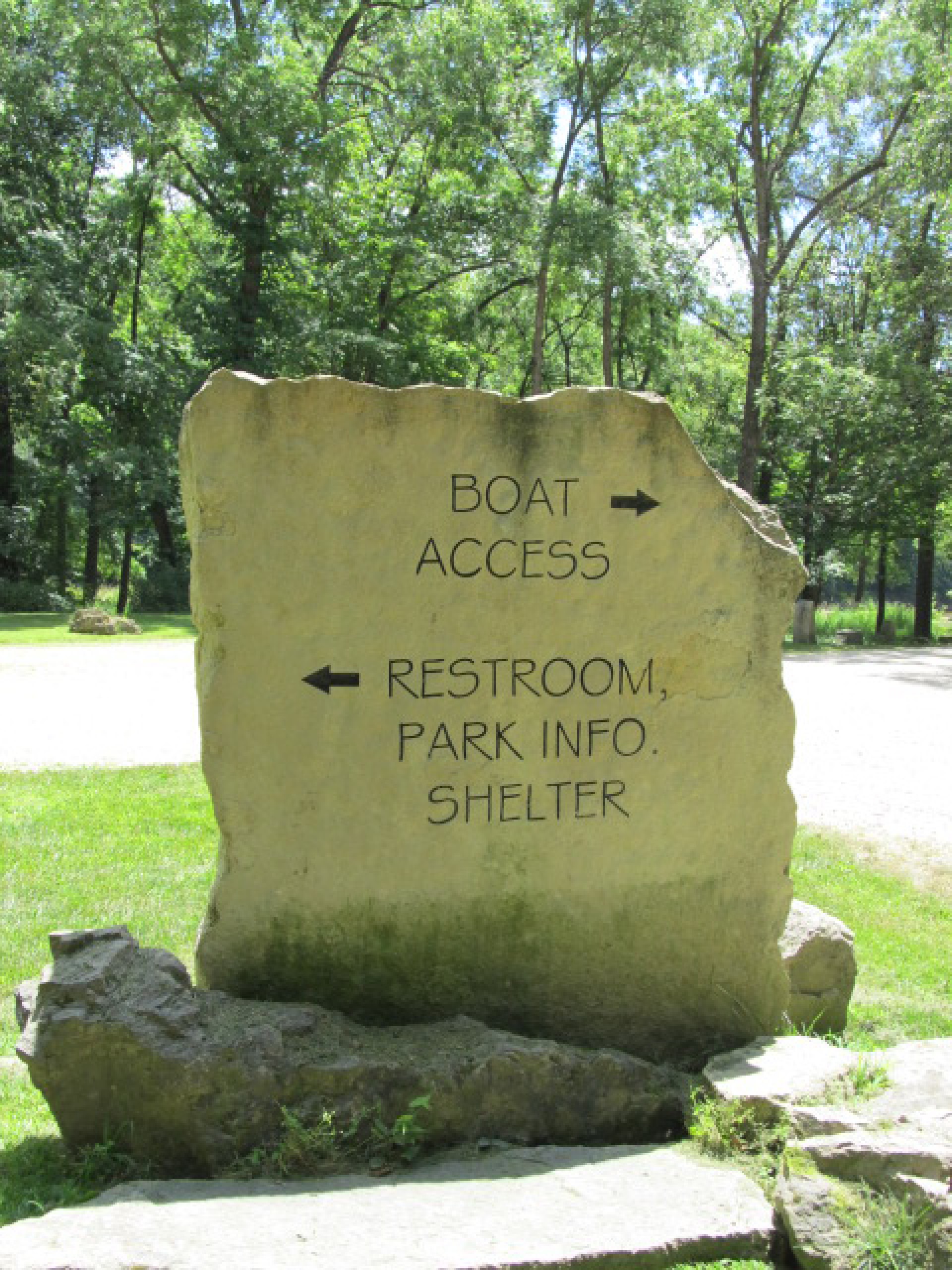
Location
Located 5 miles southeast of Monticello Iowa on 190th Street just past Camp Courageous.
