The Wapsipinicon River
Entering Jones County just north west of Stone City, it flows for roughly 43 miles, before exiting the county approximately 5 miles southeast of Oxford Junction. Along the lower 25 miles, it turns east, and forms the boundary between Clinton and Scott Counties. From there, it joins the Mississippi southwest of Clinton.
There are several legends of how the river was named. One interesting version comes from a Native American love story of two young lovers, Wapsie and Pinnekon, who went on a canoe trip, where a jealous rival for Wapsie’s love shot an arrow into the heart of Pinnekon. When Wapsie jumped to help Pinnekon, the canoe tipped, and the lovers were drowned in the fast-moving waters. Their names were joined and given to the river, thus unifying them forever.
Another interpretation is “river abundant in swan potatoes.” This came from the Native American tribes that lived along the river and early French traders, and refers to the abundance of arrowhead plants, known as “swan potatoes”, which once grew in large quantities along the river’s banks.
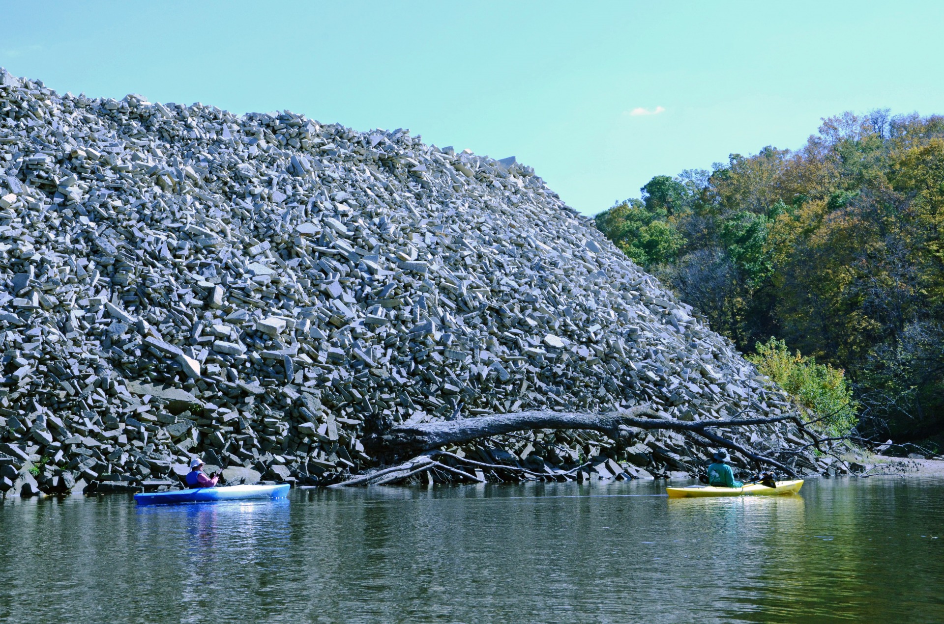
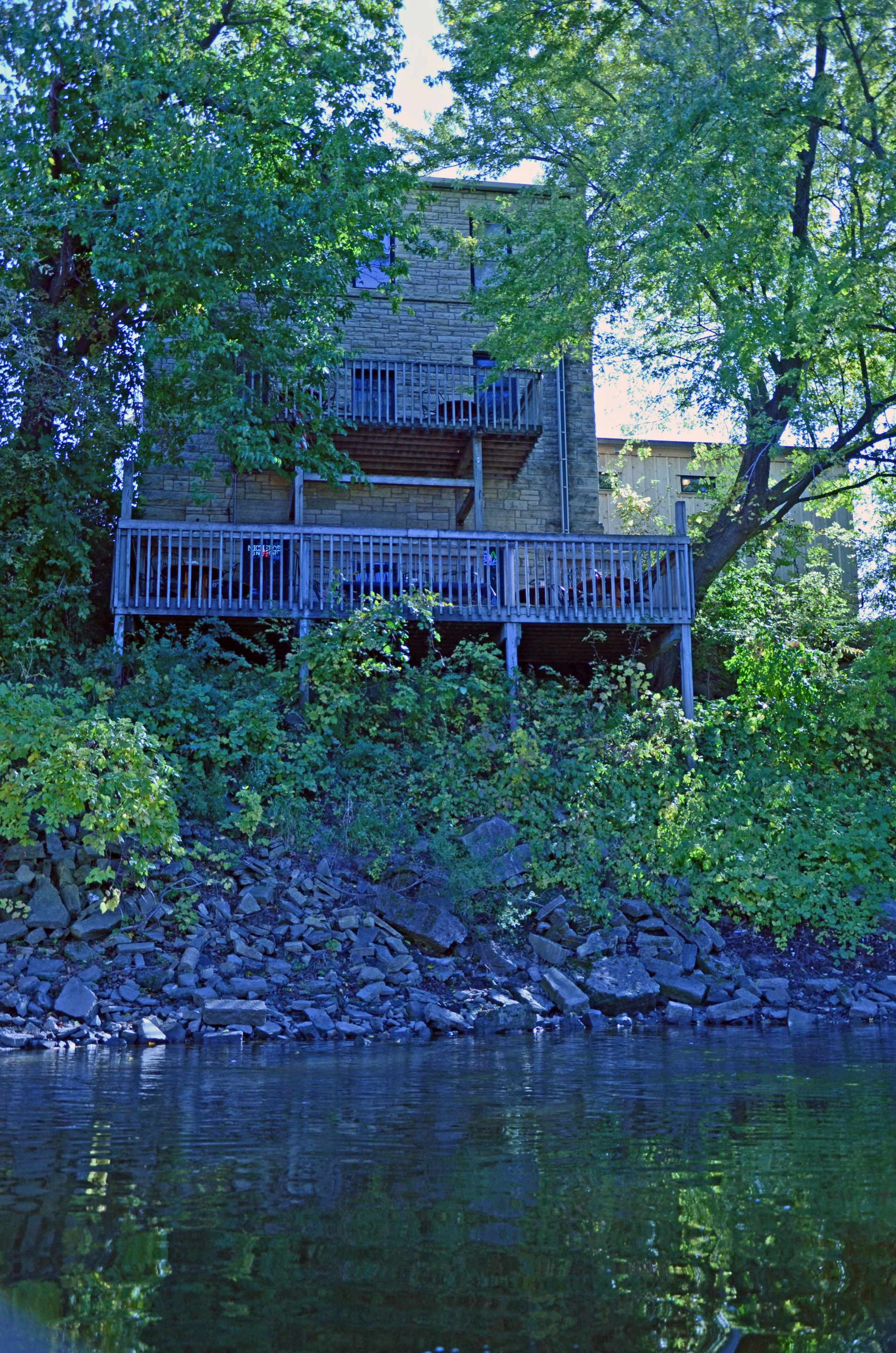
A variety of scenic views can be fully appreciated as you float along the Wapsipinicon in Jones County. Historical stone buildings and homes provide a sense of history and a “Grant Wood” feel as you float through Stone City. The pounding from local quarries, which provided much of the stone for local buildings as well as giving this community its name, can sometimes be heard along this stretch.
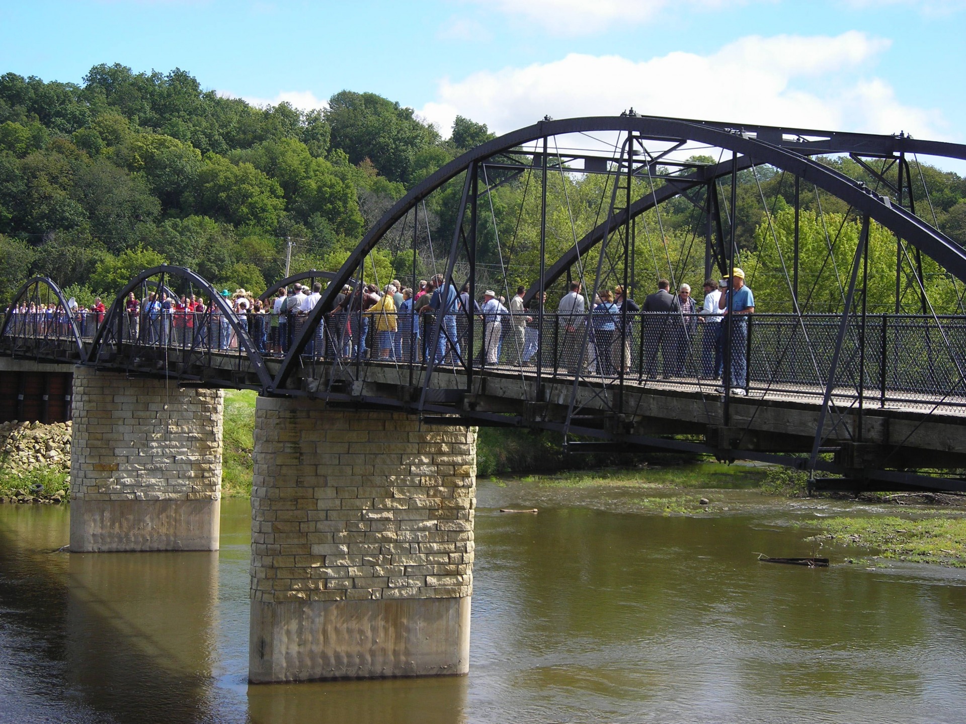
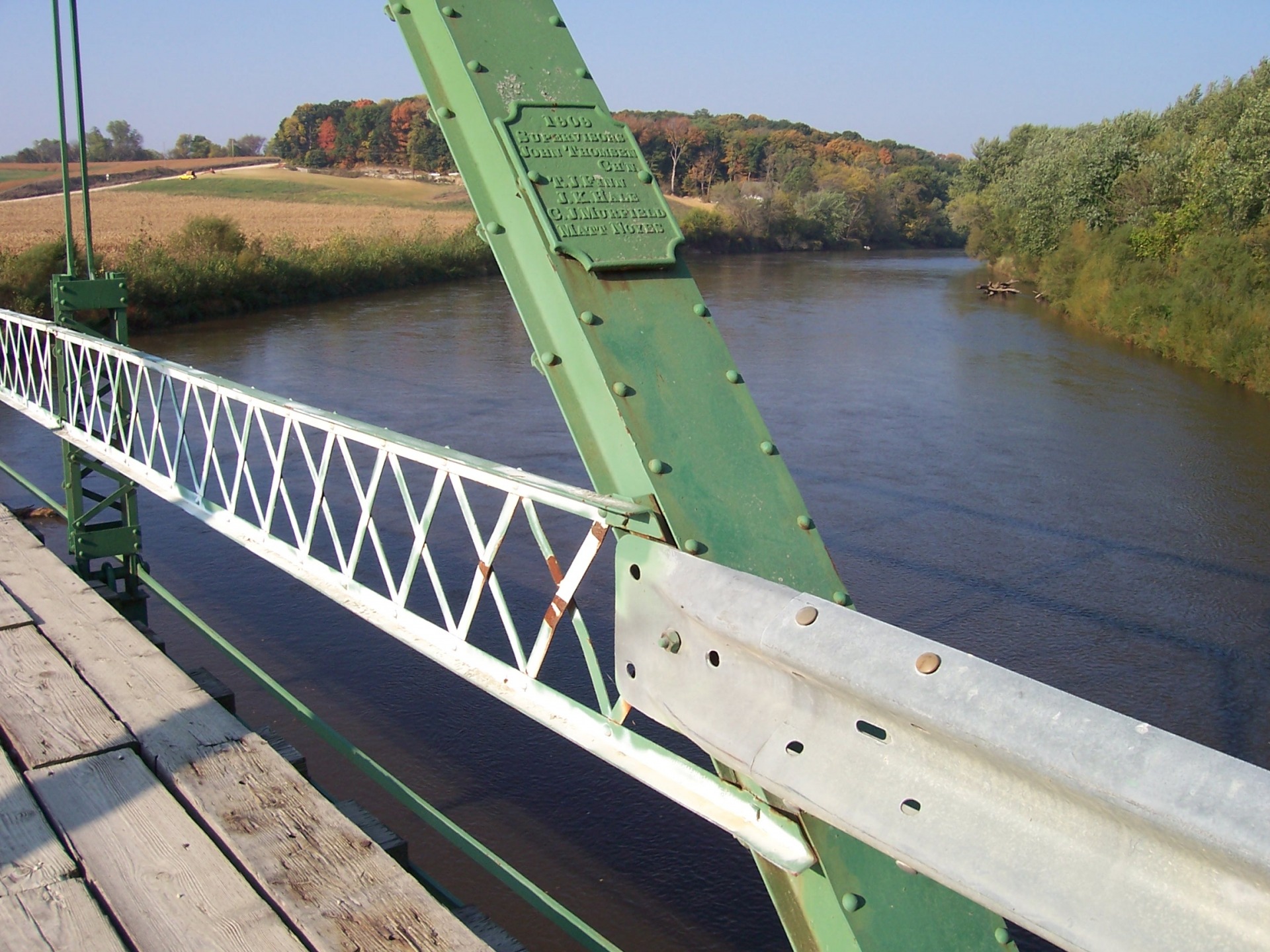
Be prepared to be awed and inspired by the relocated and restored Hale Bridge located in Wapsipinicon State Park.
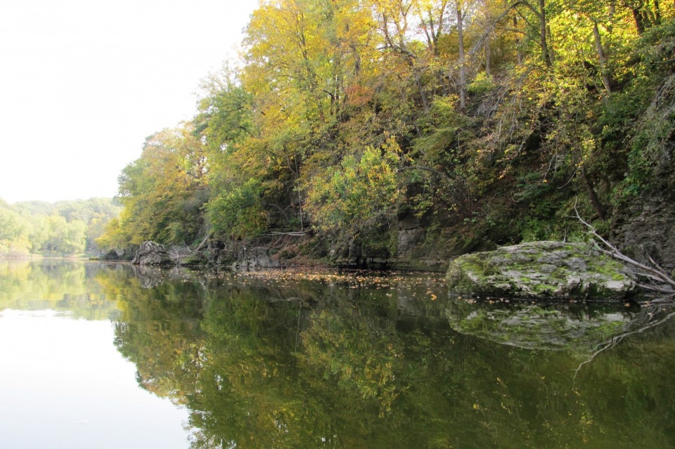
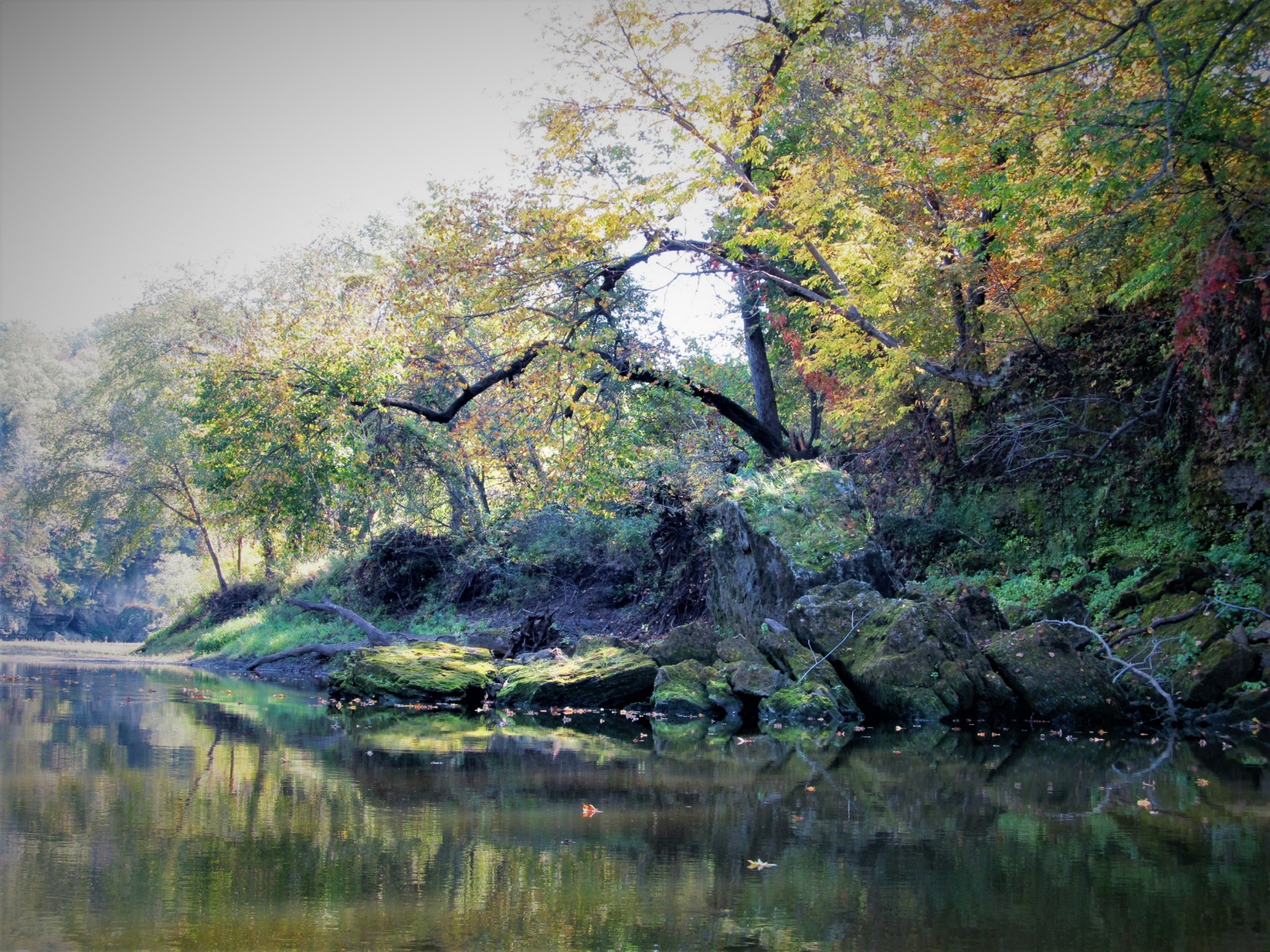
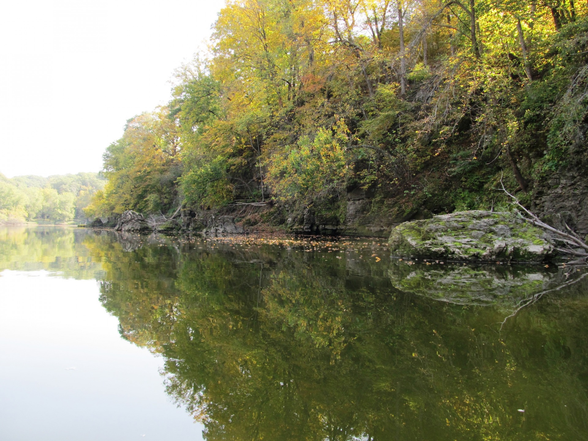
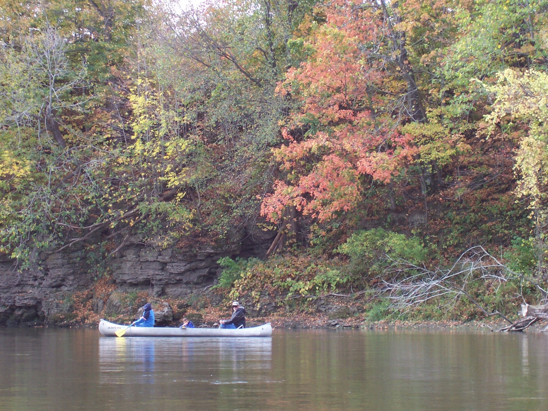
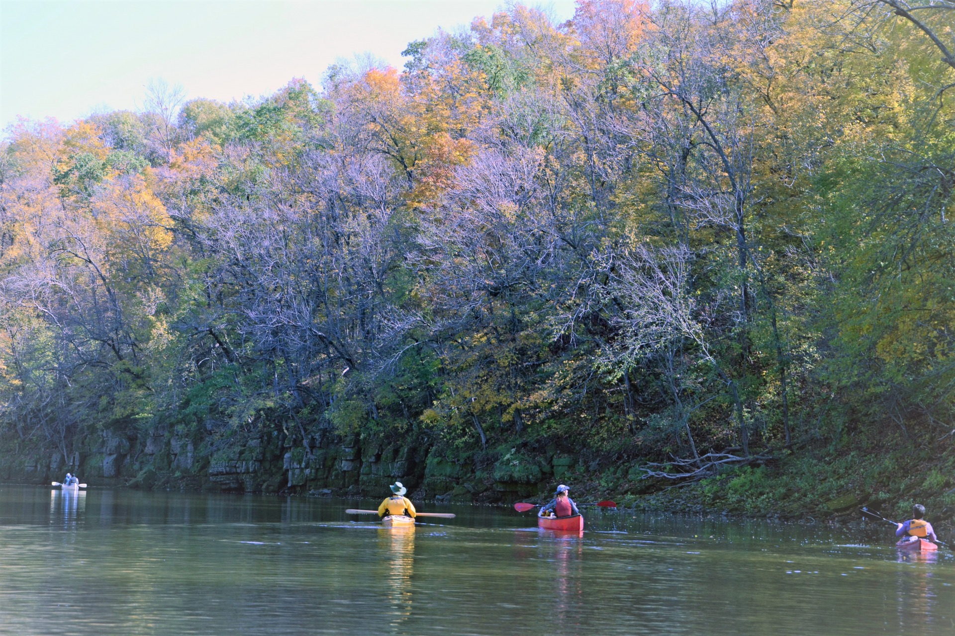
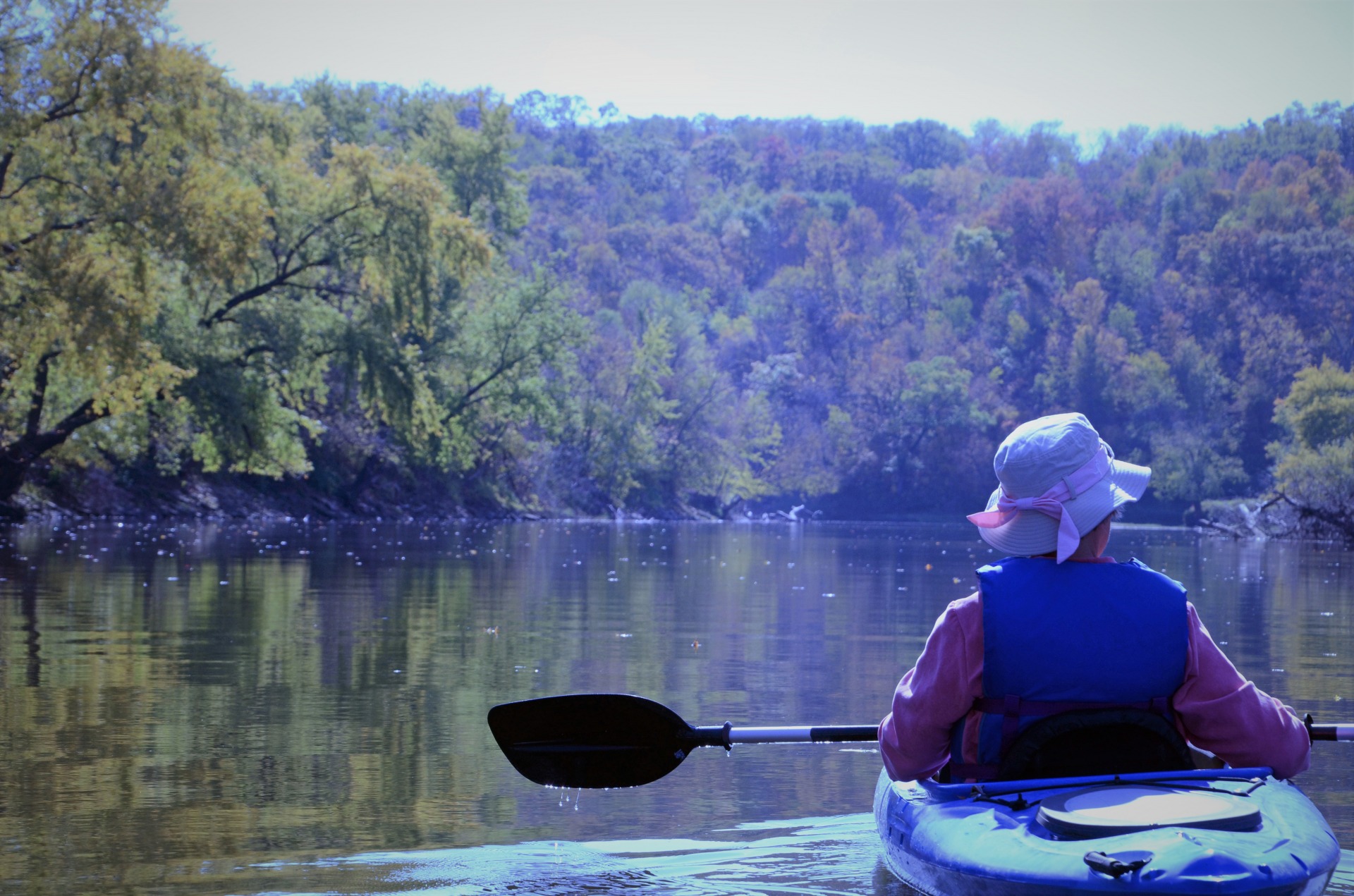
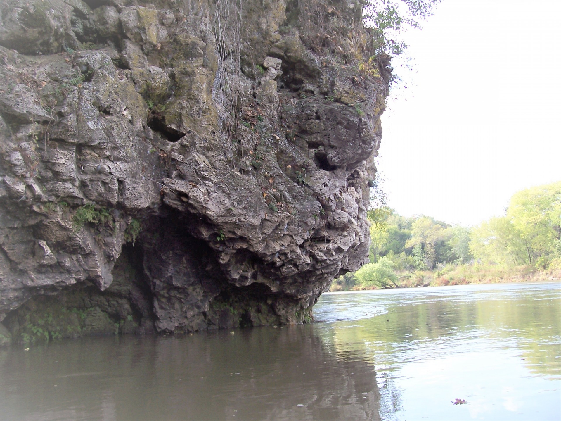
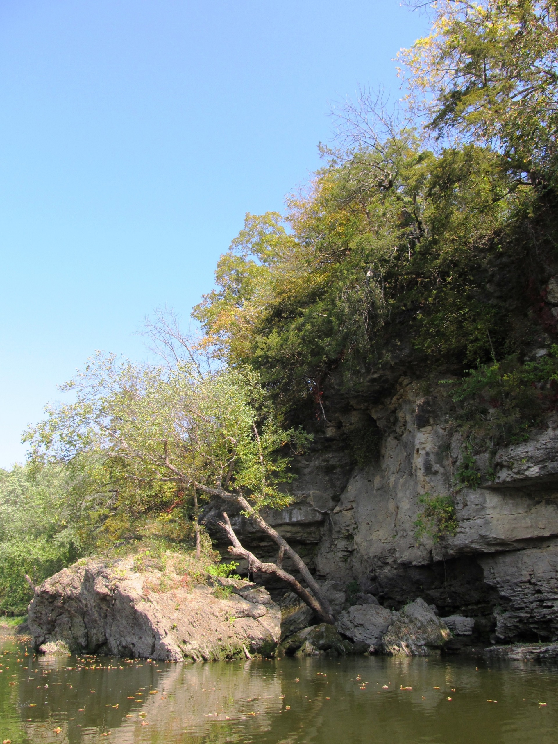
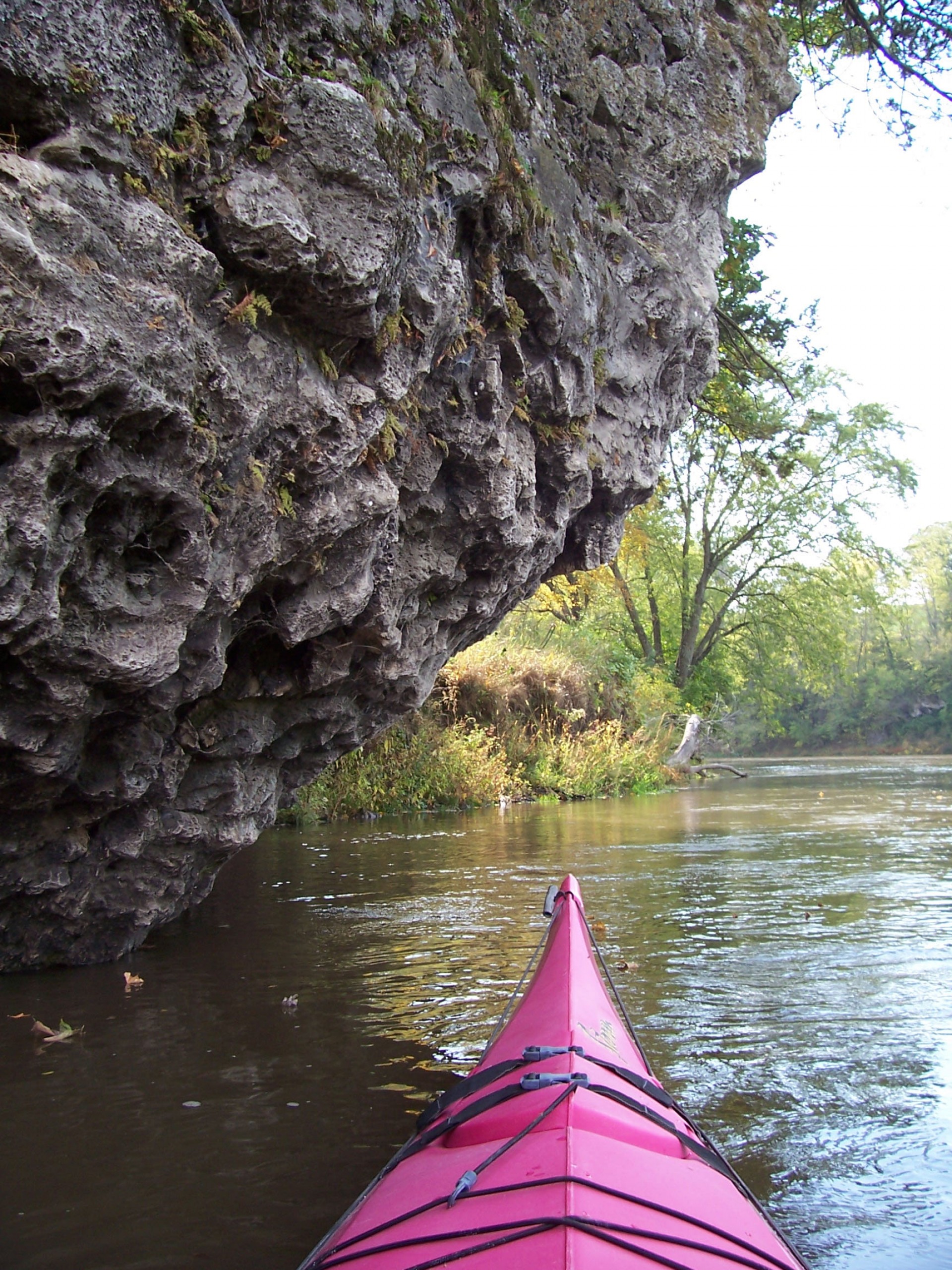
Canoeists paddling downstream from Anamosa will be amazed at the solitude and beauty that the limestone bluffs, cliffs, and wooded shorelines have to offer. Agricultural fields and pastures will remind you that you are in Iowa as you pass Olin and head downriver.
Wildlife abounds along this serene river. You can expect to encounter a variety of animal species along the river on a typical canoe jaunt including whitetail deer, wood ducks, wild turkeys, squirrels, bald eagles, Canada geese, and turkey vultures. More reclusive wildlife includes river otters, beaver, bobcat, red and grey fox, and mink. Bird lovers will be astounded at the diversity of woodland and song birds along the rivers banks. Don’t forget your binoculars and camera.
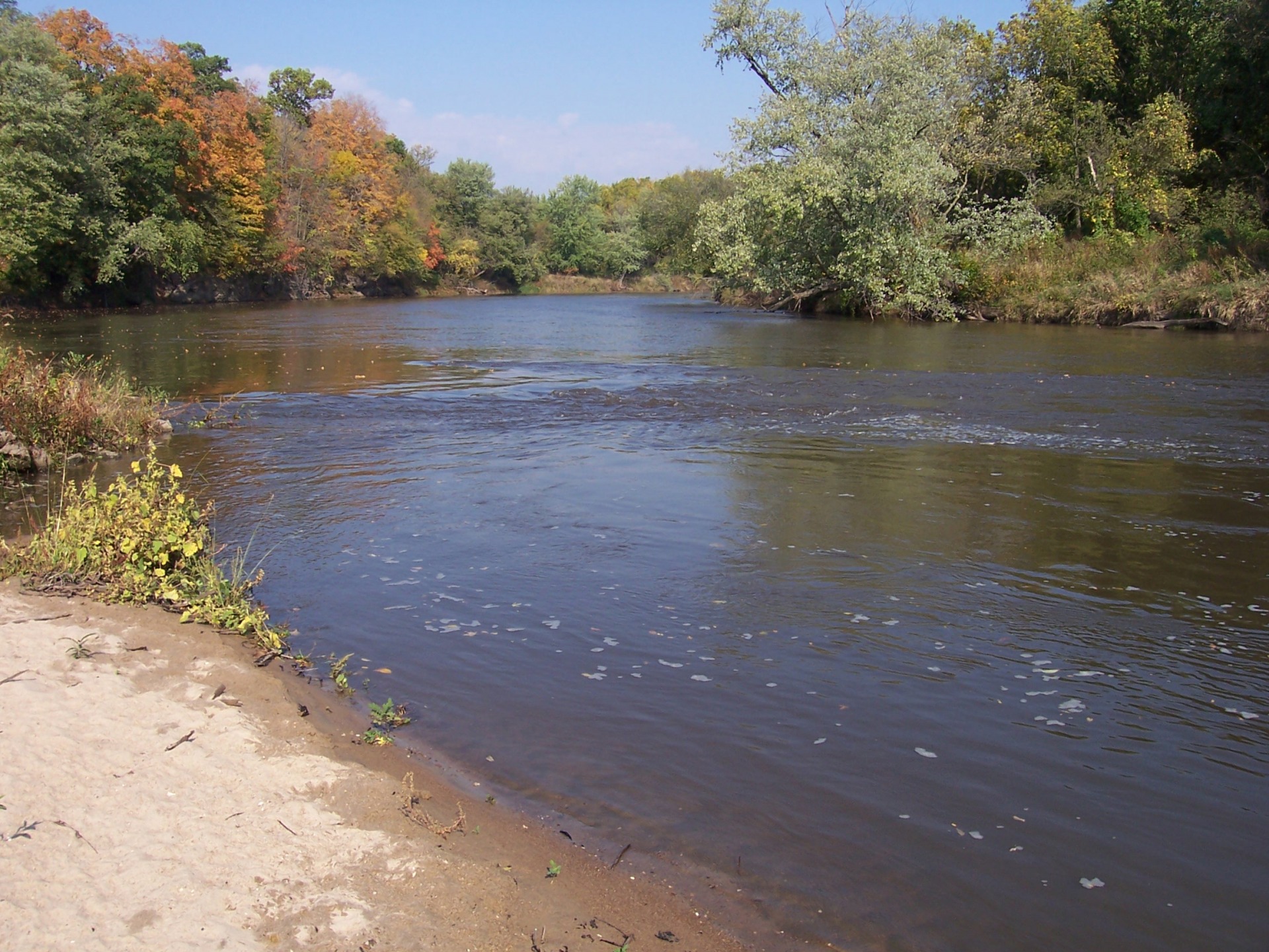
Commonly sought after fish include catfish, walleye, smallmouth bass, carp, sunfish, and northern pike. Several deep fishing holes and rocky shorelines provide excellent fishing. A popular fishing area is below the dam in Anamosa.
Warning
Downstream recreationists will need to portage around the dam at Anamosa. Use extreme caution near the Anamosa Dam. Low head dams are extremely dangerous. Uniformly falling water below the dam scours holes where the water recirculates trapping its victims underwater. People should not venture over, on, or close to these structures or will risk drowning.River Access
• Stone City Boat Ramp
• Anamosa Boat Ramp (Above the Dam)
• Wapsipinicon State Park (Below the Dam)
• Newport Mills Access
• Olin Access
• Jungletown Access
• Oxford Mills Access
Iowa DNR Wapsipinicon River Map
